What is recorded here
Situated on a fairly level landscape. An aerial photograph (CUCAP: AYM 10) from the 1970s shows a large enclosure (dims c. 100m E-W; c. 60-80m N-S) defined by what looks like a ditch feature W-N-SE. It does not appear on any other aerial images.
The above description is derived from the published 'Archaeological Inventory of County Meath' (Dublin: Stationery Office, 1987). In certain instances the entries have been revised and updated in the light of recent research.
Compiled by: Michael Moore
Date of revision: 13 August 2019.
The monument record does not grant public access. Check the route and ask the landowner before entering private land.
- What survives
- Recorded monument
Places near here
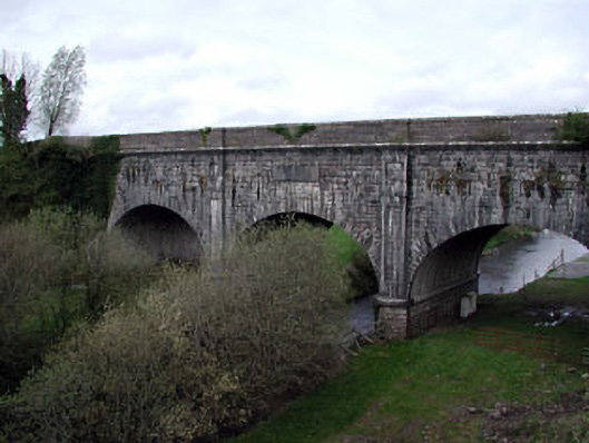 Boyne Aqueductaqueduct · 585 yd
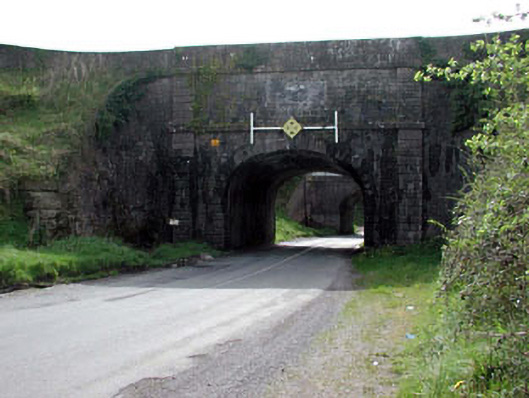 aqueductaqueduct · 612 yd
 Enclosure in MoyvallyEnclosure · 1.3 mi
 Enclosure in Ashfield OR ScreebogeEnclosure · 1.4 mi
 Site of CastleCastle, unclassified · 2.1 mi
 Common LimeCommon Lime · 2.3 mi
 European BeechEuropean Beech · 2.3 mi
 Croppies' GraveMemorial · 2.3 mi
 CastleCastle, motte · 2.4 mi
 The Grill ShackHeritage attraction · 9.6 mi
 Candle HillMountain / peak · 19 mi
 Saint Finian's WellSpring · 21 mi