
What is recorded here
Located on a fairly level landscape with a SW-NE section of the canalised River Boyne c. 350m to the SE. The cropmark of a subcircular enclosure (dims c. 60m NE-SW; c. 50m NW-SE) defined by a single slight fosse or drain is visible on Google Earth (23/03/2022) with field drains extending W from the perimeter and NE from the perimeter as far as the drain of a N-S field bank that is represented on the 1838 and 1908 editions of the OS 6-inch map. Another mapped N-S field bank and drain cuts the enclosure towards its W edge. It is also visible as a positive feature on Google Earth (17/07/2016), and it was first reported by Jean Charles Caillére.
See the attached enhanced view from Google Earth (23/03/2022)
Compiled by: Michael Moore
Date of upload: 25 January 2023
A local fairy fort (ringfort/rath); wider significance not recorded.
The monument record does not grant public access. Check the route and ask the landowner before entering private land.
- What survives
- Recorded monument
Places near here
 Leinster Bridgebridge · 1608 yd
 Saint Finian's Church (Clonard)church/chapel · 1635 yd
 Site of AbbeyChurch · 1636 yd
 Field system in Anneville or Clonard OldField system · 1750 yd
 Croppies' GraveMemorial · 1.1 mi
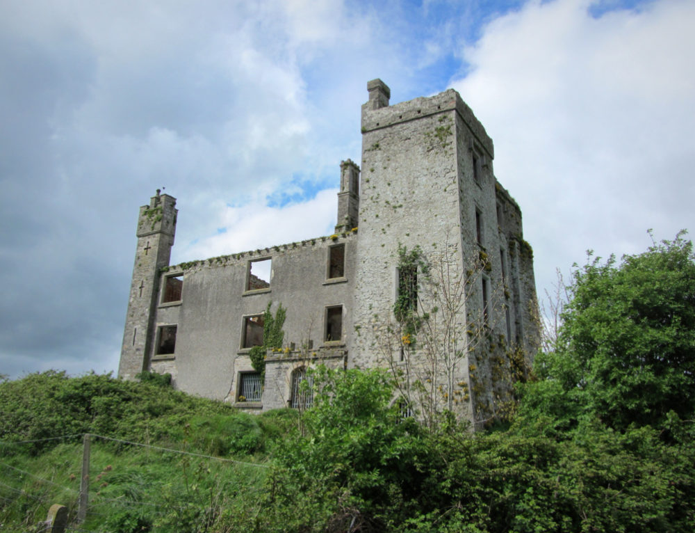 CastleCastle, ringwork · 1.2 mi
 Abandoned Kinnegad CanalWood · 1.5 mi
 Queen Marys CastleCastle, tower house · 2.7 mi
 European BeechEuropean Beech · 3.3 mi
 The Grill ShackHeritage attraction · 10 mi
 John McLaughlinMemorial · 20 mi
 Arthur GuinessMemorial · 20 mi
Other information
Photo: Credit not shown in the picture search · Rights wording not checked; contact us if this picture should be removed