
What is recorded here
Located on a bluff overlooking a S-N section of the Blackwater River c. 50m to the W. This is a flat-topped and grass-covered earthen mound (diam. of top 9-10m; diam. of base 33-35m; H 5.5m at E to 9.5m at W) with some trees. There is a platform (Wth 21m E-W) defined by a scarp (at E: Wth 3m; H 1m) attached to the motte NE-SE, which may have been a bailey but which has been anciently quarried. The site of the parish church of Castlerickard (ME041-014001-) is c. 25m to the S, and field system (ME041-015----) extends to the E and N.
The above description is derived from the published 'Archaeological Inventory of County Meath' (Dublin: Stationery Office, 1987). In certain instances the entries have been revised and updated in the light of recent research.
Compiled by: Michael Moore
Date of revision: 2 June 2016
Amended: 9 August 2019
Built during the Anglo-Norman invasion of the 12th century, Castle, motte in Castlerickard was likely constructed by a local lord or Norman settler to control the strategic Blackwater River crossing. Its location highlights the importance of riverine defense and territorial control in medieval Ireland.
The monument record does not grant public access. Check the route and ask the landowner before entering private land.
- What survives
- Recorded monument
Places near here
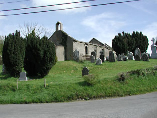 Saint Nicholas's Church (Castlerickard)church/chapel · 47 yd
 EnclosureEnclosure, large enclosure · 695 yd
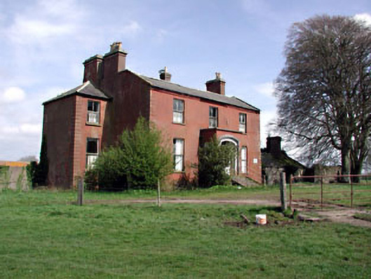 Castlerickard Housecountry house · 704 yd
 Common LimeCommon Lime · 732 yd
 European BeechEuropean Beech · 906 yd
 Donore CastleCastle · 1.0 mi
 Concentric enclosure in DalystownConcentric enclosure · 1.3 mi
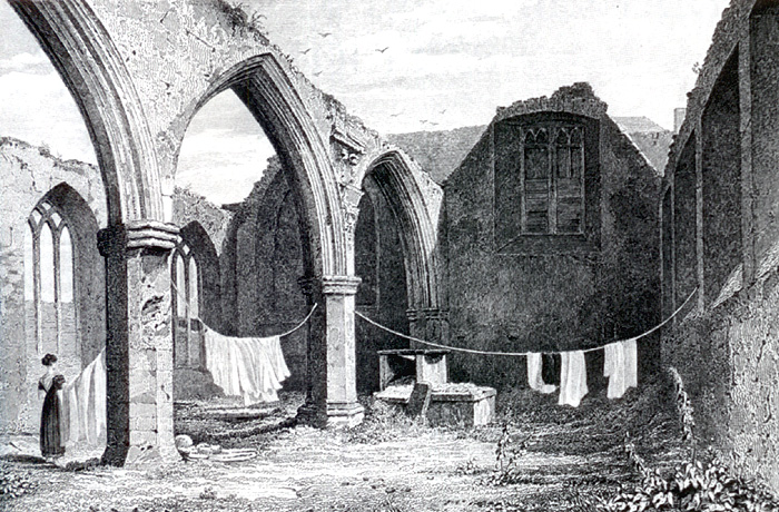 Portlester Ho.Castle, unclassified · 3.4 mi
 Croppies' GraveMemorial · 4.7 mi
 Cloncurry GraveyardHeritage attraction · 7.1 mi
 Old Bog Road made famous by Teresa Bryton 1868-1943Memorial · 7.8 mi
 Kilgar GardensHeritage attraction · 9.6 mi
Other information
Photo: Credit not shown in the picture search · Rights wording not checked; contact us if this picture should be removed