
What is recorded here
Situated on the summit of a locally prominent hill, called 'Violet Hill (OS 1836) or Dalystown Hill (OS 1912). The ‘old fort’ is noted in a land sale of 1815 (Ellison 1967, 18) and it is depicted on the 1836 and 1912 editions of the OS 6-inch map. This was described in 1970 (SMR file) as a circular area (diam. 21m WNW-ESE), of which only the N part survived, defined by an earthen bank (at NNE: Wth of base 4.3m; int. H 0.2m; ext. H 1.9m) and outer fosse (at NNE: Wth of top 5.3m; Wth of base 1.7m; ext. D 0.3m) WNW-N-ESE. The fosse was separated by a berm (at NNE: Wth 11m; at E: Wth 23m) from an outer bank (at NNE: Wth of base 7.4m; int. H 0.3m; ext. H 1.3m) that only survived NNW-E. An entrance through either bank was not recognised. The visible profile of the monument had been removed by 1995 (OSAP). Rath (ME041-009----) is c. 200m to the ENE.
The above description is derived from the published 'Archaeological Inventory of County Meath' (Dublin: Stationery Office, 1987). In certain instances the entries have been revised and updated in the light of recent research.
Compiled by: Michael Moore
Date of revision: 9 August 2019
The monument record does not grant public access. Check the route and ask the landowner before entering private land.
- What survives
- Recorded monument
Places near here
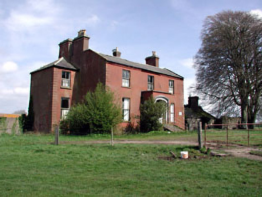 Castlerickard Housecountry house · 1597 yd
 Ruinis of Clonee ChurchChurch · 1673 yd
 Enclosure in BallymulmoreEnclosure · 1.1 mi
 CastleCastle, motte · 1.3 mi
 Enclosure in Batterstown (moyfenrath Lower By.)Enclosure · 1.5 mi
 Common LimeCommon Lime · 1.6 mi
 European BeechEuropean Beech · 1.6 mi
 Donore CastleCastle · 1.7 mi
 Croppies' GraveMemorial · 5.9 mi
 Cloncurry GraveyardHeritage attraction · 7.4 mi
 Old Bog Road made famous by Teresa Bryton 1868-1943Memorial · 8.0 mi
 Kilgar GardensHeritage attraction · 9.4 mi
Other information
Photo: Credit not shown in the picture search · Rights wording not checked; contact us if this picture should be removed