
What is recorded here
Located on a slight SW-facing slope. A grass-covered subcircular area (dims c. 90m NW-SE; c. 75m NE-SW) defined by what is probably a low bank and outer fosse is visible in low winter sunlight on Google Earth (Jan. 2020). The perimeter is slightly truncated by a NNW-SSE field bank at NE. It is also traceable on other Google images and faintly on OSI images (1995). It was first reported by Jean Charles Caillere.
See the atached view from Google Earth (Jan. 2020)
Compiled by: Michael Moore
Date of upload; 31 March 2021
The monument record does not grant public access. Check the route and ask the landowner before entering private land.
- What survives
- Recorded monument
Places near here
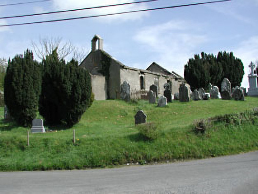 Saint Nicholas's Church (Castlerickard)church/chapel · 650 yd
 CastleCastle, motte · 695 yd
 Common LimeCommon Lime · 993 yd
 European BeechEuropean Beech · 1182 yd
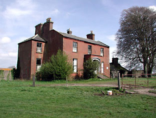 Castlerickard Housecountry house · 1327 yd
 Donore CastleCastle · 1.3 mi
 Concentric enclosure in DalystownConcentric enclosure · 1.7 mi
 Concentric enclosure in ClonguiffinConcentric enclosure · 2.3 mi
 Croppies' GraveMemorial · 4.4 mi
 Cloncurry GraveyardHeritage attraction · 6.8 mi
 Old Bog Road made famous by Teresa Bryton 1868-1943Memorial · 7.6 mi
 Kilgar GardensHeritage attraction · 9.4 mi
Other information
Photo: Credit not shown in the picture search · Rights wording not checked; contact us if this picture should be removed