
What is recorded here
On a low but prominently sited hillock in gently undulating pasture. Named 'Site of Castle' on the 1st. ed.(1838) of the OS 6-inch map which shows an unroofed rectangular structure (dims. L c. 25m NW-SE; Wth c. 10m). There is no visible surface trace of the monument.
Compiled by: Gearóid Conroy
Date of upload: 10 June 2011
The castle at Moyvally was likely built during the late medieval period, possibly by a local Gaelic lord or Anglo-Norman family, though specific builders remain unidentified. It is remembered as an archaeological site that provides insight into early Irish castle architecture and regional settlement patterns.
The monument record does not grant public access. Check the route and ask the landowner before entering private land.
- What survives
- Recorded monument
Places near here
 Moyvally Bridgebridge · 373 yd
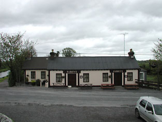 Furey'shouse · 397 yd
 Enclosure in Ballinderry (moyfenrath Lower By.)Enclosure · 1216 yd
 More O’Ferrall Celtic CrossMonument · 1323 yd
 Bawn in Newcastle (moyfenrath Lower By.)Bawn · 2.5 mi
 Croppies' GraveMemorial · 3.3 mi
 Mylerstown Castle in RuinsCastle, tower house · 3.6 mi
 Common LimeCommon Lime · 3.8 mi
 European BeechEuropean Beech · 3.8 mi
 The Grill ShackHeritage attraction · 7.5 mi
 Mass was there in Penal TimesMemorial · 10 mi
 Candle HillMountain / peak · 19 mi
Other information
Photo: Credit not shown in the picture search · Rights wording not checked; contact us if this picture should be removed