
What is recorded here
Situated on a low-lying landscape with esker ridges. The cropmark of a small enclosure (diam. c. 20m) defined by a single fosse feature is visible on Google Earth (28/06/2018). The rectangular enclosure (ME047-024----) is c. 25m to the S. It was first reported by Brian Doyle.
Compiled by: Michael Moore
Date of upload: 12 March 2019
The monument record does not grant public access. Check the route and ask the landowner before entering private land.
- What survives
- Recorded monument
Places near here
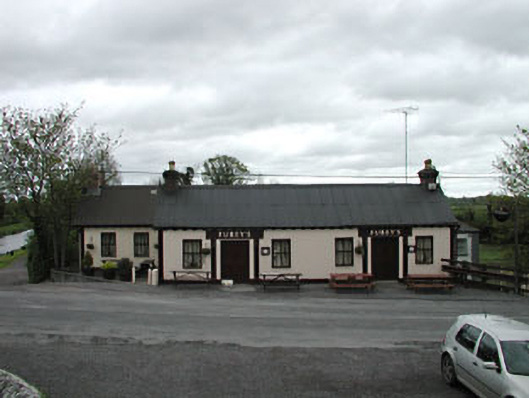 Furey'shouse · 956 yd
 Moyvally Bridgebridge · 987 yd
 Site of CastleCastle, unclassified · 1216 yd
 Concentric enclosure in ClonguiffinConcentric enclosure · 1.0 mi
 More O’Ferrall Celtic CrossMonument · 1.1 mi
 Bawn in Newcastle (moyfenrath Lower By.)Bawn · 1.9 mi
 Common LimeCommon Lime · 3.8 mi
 European BeechEuropean Beech · 3.9 mi
 Croppies' GraveMemorial · 4.0 mi
 Cloncurry GraveyardHeritage attraction · 4.7 mi
 The Grill ShackHeritage attraction · 7.1 mi
 Mass was there in Penal TimesMemorial · 9.8 mi
Other information
Photo: Credit not shown in the picture search · Rights wording not checked; contact us if this picture should be removed