What is recorded here
On a N-facing slope with limited views due to rising ground, except to the NE. Ballynaboley tower house (KK024-040----) is located c. 230m to the NW. The medieval church (KK024-042001-) is situated in the SW angle of a graveyard. Indicated on the 1st (1839) ed. OS 6-inch map as a roughly rectangular unenclosed graveyard (dims. c. 56m N-S; c. 70m E-W at the N, narrowing to c. 43m at the S) with a trackway running NW-SE along the W side. The graveyard is not indicated on the 1899-1902 revision of the OS 6-inch map. When described by Carrigan (1905, vol. 3, 485), the ‘surrounding churchyard has now no appearance of graves; the fence that formerly protected it has been thrown down, but can still be traced’.
A rectangular graveyard (dims. c. 55.6m E-W; 27.5m N-S) defined by a barely discernible low earthen bank. There are no upstanding grave-markers.
Compiled by: Jean Farrelly
Date of upload: 27 September 2021
The monument record does not grant public access. Check the route and ask the landowner before entering private land.
- What survives
- Recorded monument
Places near here
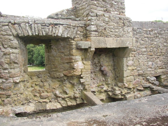
 Ballynaboley Church (in ruins)Church · 21 yd
 Ballynaboley Castle (in ruins)Castle, tower house · 262 yd
 The ClahounForest · 482 yd
 Enclosure in Ballynaboley (gowran By.)Enclosure · 492 yd
 The OrchardForest · 693 yd
 IndicatedEnclosure · 749 yd
 Church in Cloghala (gowran By., Bennettsbridge Ed),dungarvan (gowran By., Bennettsbridge Ed),scart (gowran By., Bramblestown Ed)Church · 1357 yd
 CastleCastle, motte · 1.5 mi
 Tullaherin Church and Round TowerVisitor information · 1.6 mi
 Kilbline GraveyardArchaeological place · 2.3 mi
 Time CapsuleMemorial · 2.6 mi
 St. Mogarra’s WellSpring · 5.1 mi