
What is recorded here
On a N-facing slope with limited views due to rising ground, except to the NE. Ballynaboley tower house (KK024-040----) is located c. 230m to the NW. The medieval church is situated in the SW angle of a graveyard (KK024-042002-). When described by Carrigan (1905, vol. 3, 485) the W gable and most of the N wall had ‘disappeared’, with a breach in the N wall indicating where the entrance was located. Carrigan (ibid.) also mentions, ‘a very small window in the east gable, damaged at the sides, but preserving on the outside its round arch turned with thin flags’.
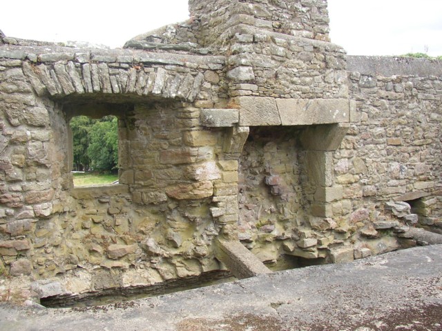
A rectangular church (ext. dims. 9.3m N-S; 18m E-W) constructed of large blocks of roughly coursed limestone (wall T 0.8m). The W end of the S wall (H 3.3m; L 2.5m) is the only significant upstanding portion of the church. The rest of the S wall is low and grass-covered (ext. H 0.5m). The N side-wall (ext. H 1.2m) has been breached midway along its length. The W gable (ext. H 0.7m) has collapsed inward and the E gable (H 1.1m) collapsed in c. 1960. The interior of the church is strewn with collapsed masonry and is overgrown with hawthorn and brambles.
Compiled by: Jean Farrelly
Date of upload: 27 September 2021
The monument record does not grant public access. Check the route and ask the landowner before entering private land.
- What survives
- Recorded monument
Places near here
 Ballynaboley Castle (in ruins)Castle, tower house · 266 yd
 The ClahounForest · 462 yd
 Enclosure in Ballynaboley (gowran By.)Enclosure · 510 yd
 The OrchardForest · 672 yd
 IndicatedEnclosure · 770 yd
 Church in Cloghala (gowran By., Bennettsbridge Ed),dungarvan (gowran By., Bennettsbridge Ed),scart (gowran By., Bramblestown Ed)Church · 1336 yd
 Castlefield Housecountry house · 1580 yd
 CastleCastle, motte · 1.5 mi
 Tullaherin Church and Round TowerVisitor information · 1.5 mi
 Kilbline GraveyardArchaeological place · 2.3 mi
 Time CapsuleMemorial · 2.6 mi
 St. Mogarra’s WellSpring · 5.1 mi
Other information
Photo: kevin higgins · CC BY-SA 2.0