
What is recorded here
Dungarvan means the place of the great circular dun, and that dun still stands at the village edge, a steep-sided mound wide enough for a hall or a hundred dancers. People quarried its base for stone and built a Marian grotto into its side, yet they never removed the top. The castle became a garden, a road bank and a sacred shelf, but it refused to disappear.
In gently rolling terrain, at the W end of Dungarvan village, S of the public road, in pasture. A tributary of the River Nore flows c. 600m SE of the village. Carrigan (1905, vol. 3, 417) mentions, ‘The great circular dun or “moat,” from which the first part of the name [of the village] is taken, is situated in Dungarvan village’.
A flat-topped steep-sided mound (diam. at summit 29.5m x 21.5m) overgrown with trees and scrub (Farrelly et al. 1993 field notes). The summit is defined by a slight bank (ibid.). The motte has been quarried into around the base in the W sector and a Marian grotto was built into the N side in 1954 (ibid.)The N side, which runs along the road, has been landscaped above a retaining stone wall. A possible curving bank c. 27m to the W may be the remains of an associated bailey or could be upcast around the edge of quarrying (ibid.).
See attached photographs:
KK024-068001-_01 Motte (Farrelly and O’Reilly, 7 July 1992)
KK024-068001-_02 Motte (Farrelly and O’Reilly, 7 July 1992)
Compiled by: Jean Farrelly
Date of upload: 27 April 2021
Built by the FitzGerald family, likely in the late 12th or early 13th century during the Anglo-Norman expansion into Munster. The motte is important as a regional example of early Norman military architecture in the area.
The monument record does not grant public access. Check the route and ask the landowner before entering private land.
- What survives
- Recorded monument
Places near here
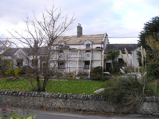 Nore Vale Houseschool · 62 yd
 Walshhouse · 77 yd
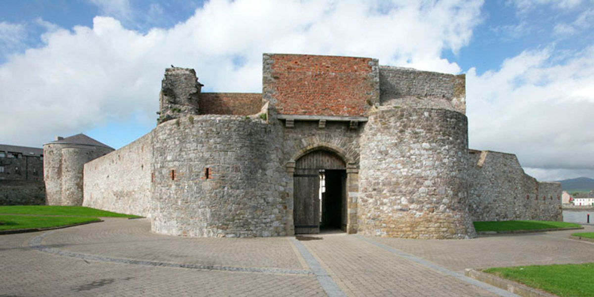 Site of Dungarvan CastleCastle, tower house · 187 yd
 Enclosure in Dungarvan GlebeEnclosure · 456 yd
 Enclosure in Cloghala (gowran By., Bennettsbridge Ed)Enclosure · 531 yd
 Red BogForest · 1537 yd
 BogForest · 1735 yd
 Tullaherin Church and Round TowerVisitor information · 1.5 mi
 Ballynaboley Castle (in ruins)Castle, tower house · 1.6 mi
 Stroan FountainVisitor information · 2.0 mi
 Kilbline GraveyardArchaeological place · 2.6 mi
 Time CapsuleMemorial · 3.6 mi
Other information
Photo: Credit not shown in the picture search · Rights wording not checked; contact us if this picture should be removed