What is recorded here
Situated on a slight rise at the E end of a low ESE-WNW spur. The parish church of Ballyanne (WX029-002001-) is within a rectangular graveyard (dims. c. 45m NW-SE; c. 40m NE-SW) defined by a masonry wall. Lady's Well (WX029-003----) is c. 100m to the NE.
Compiled by: Michael Moore
Date of upload: 1 August, 2012
The monument record does not grant public access. Check the route and ask the landowner before entering private land.
- What survives
- Recorded monument
Places near here
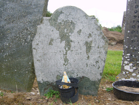 graveyard/cemeterygraveyard/cemetery · 1 yd
 Church (in ruins)Church · 14 yd
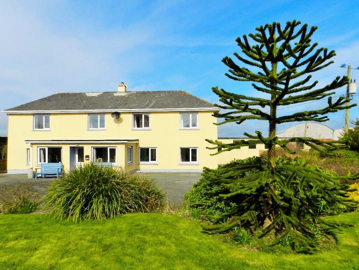 Habitation site in BallyanneHabitation site · 92 yd
 Lady WellHoly well · 122 yd
 Castle (in ruins)Castle, unclassified · 1.2 mi
 Castle (Site of)Castle, unclassified · 1.6 mi
 Forest Of The DunbrodyForest · 1.9 mi
 Lacken HillMountain / peak · 2.1 mi
 Silver WattleSilver Wattle · 2.7 mi
 Crutched FriarsMemorial · 3.1 mi
 Graveyard in St. Mullin'sGraveyard · 4.3 mi
 The SpoutSpring · 4.6 mi