What is recorded here
Grave Yard in County Cork holds ordinary stones and an earthen arc that once bordered a much larger circular enclosure. The parish church of Kilshanahan disappeared beneath the northern soil, leaving no visible trace despite a small sandstone fragment and a hollowed bullan stone still embedded in the walls. People have buried their dead beside these forgotten markers, continuing life around a place that stopped announcing itself long before they arrived.
On W side of road; roughly rectangular graveyard (c. 50m N-S; c. 60m E-W); numerous gravestones, mostly 19th century, in N half; few markers in S half which follows slope of land. According to Power (1923,180), 'no monuments or inscriptions of special interest'. Enclosing element to S formed by arc of earthen bank (ext. H 2.5m), aerial photography shows this on line of large levelled circular enclosure (5163). Recent extension of graveyard to S. 'Site of Church' (CO044-026002-) marked on 1935 OS 6-inch map in N half of graveyard; no visible surface trace. This was parish church of Kilshanahan; in 1700 reported that 'church built of stone and clay, and is altogether ruinous; only the west end is standing covered with ivy; it was a very small church' (Brady 1863, vol. 1, 154). Bullán stone (0.42m x 0.28m x 0.2m deep) with bowl-shaped hollow (diam. 0.2m), set in E wall of graveyard. Sandstone block, which may be top of round-headed window light, in S half of graveyard.
The above description is derived from the published 'Archaeological Inventory of County Cork. Volume 2: East and South Cork' (Dublin: Stationery Office, 1994). In certain instances the entries have been revised and updated in the light of recent research.
Date of upload/revision: 14 January 2009
The monument record does not grant public access. Check the route and ask the landowner before entering private land.
- What survives
- Recorded monument
Places near here
 IndicatedEcclesiastical enclosure · 1 yd
 Burnt mound in Ballinaltig (barrymore By.)Burnt mound · 293 yd
 Scartbarry Househouse · 1410 yd
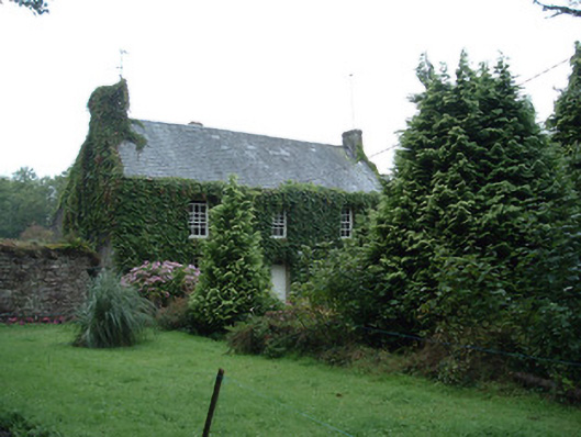 Bushy Park Househouse · 1422 yd
 Castle (in Ruins)Castle, unclassified · 1.4 mi
 Devonshire's HillMountain / peak · 2.1 mi
 Graveyard in Killuntin NorthGraveyard · 2.8 mi
 Rathcormac massacremassacre · 2.8 mi
 Monananig WoodsWood · 2.8 mi
 Tower (in Ruins)Bawn · 3.1 mi
 Moanbaun ForestForest · 3.3 mi
 Graveyard in GlenvilleGraveyard · 4.1 mi