
What is recorded here
Situated on a gentle S-facing slope. Rectangular enclosure (dims. 70m NW-SE; 45m NE-SW) defined by an earth and stone bank (Wth 3m; int. H lm; ext. H 1.3m) with external drystone facing. The entrance (Wth 2.4m) is towards the NE corner, between dressed granite pillars. The S end of the site is marked as a graveyard…
Read the whole record
From the National Monuments Service (Archaeological Survey of Ireland) record WI047-002
Places near here
Photo credits
- National Inventory of Architectural Heritage
- Willow, Wikimedia Commons · CC BY 2.5
- Jean-Pol GRANDMONT, Wikimedia Commons · CC BY 3.0
- Andreas F. Borchert, Wikimedia Commons · CC BY-SA 4.0
- N Chadwick, Geograph · CC BY-SA 2.0
- Theresa Bois, Wikimedia Commons · CC BY-SA 4.0
- Goreymurphy, Wikimedia Commons · CC BY-SA 4.0
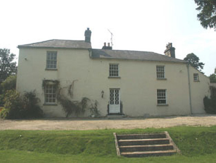 The Old RectoryRectory/glebe/vicarage/curate's house · 1.5 mi
 European ash1.6 mi
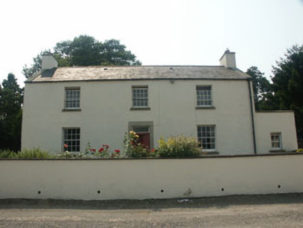 Crone LodgeFarm house · 1.7 mi
 Cork oak1.7 mi
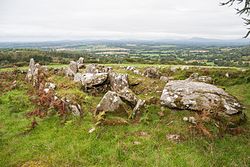 LabbanasigheWedge tomb · 3.0 miBallynultagh HillMountain / peak · 3.2 mi
 Cross-slab in Aghowle Lower (shillelagh By.)Cross-slab · 3.6 miClonogan Castle (site of)Castle, unclassified · 4.0 mi
Explorer Tom Clonogan Castle in Carlow was once owned by the Earls of Kildare before getting kicked out. Its New Year's resolution is probably to stop being so difficult. Look serious, nod slowly, and you're basically an expert now.
Gibbet HillMountain / peak · 4.3 mi Huntington Castle & GardensHeritage attraction · 4.7 mi
Explorer Tom Huntington Castle & Gardens is a beautiful heritage attraction, and the castle itself looks absolutely stunning in the photos.
Blue SchoolMemorial · 5.3 mi Saint Brigid's WellSpring · 5.6 mi
More archaeology and monuments in County Wicklow · All of County Wicklow

What do you know about this place?Tap to add a comment or ask a question