
What is recorded here
Clonogan Castle belonged to the Earls of Kildare before forfeiture in 1534, but a 1540 valuation already called it ruinous and uninhabited. Its stones were stripped around 1820 to build Clonogan House, leaving only a faint rectangular shadow in the Carlow soil. What remains is less a castle than a wound in the field, marked by roads, boundaries and a raised northern edge where human hands once shaped the land.
The following description is derived from the published 'Archaeological Inventory of County Carlow' (Dublin: Stationery Office, 1993). In certain instances the entries have been revised and updated in the light of recent research.
Date of upload/revision: 17 July 2007
According to Fitzgerald (JKAS 1912-14, 127), Manor of Clonogan belonged to Earls of Kildare in sixteenth century. Forfeited to Crown in 1534. Valuation of manor made in 1540 found 'the chief dwelling of the Manor of "Cloneogan" was formerly a castle, ... but now ruinous, waste and uninhabited ...' Marked on Down Survey (1655-6) map and described as 'an old castle'. Present remains consist of rectangular enclosure (45m x 35m) defined by ploughed-out remains of two banks with intervening fosse, visible at S, and at E where fosse is occasionally visible as cropmark. At NW and NE the banks are overlain by road and modern field boundary respectively. N portion of interior is raised above S portion. Materials from castle used to build Clonogan House about 1820.
Clonogan Castle was built in the 17th century by the Butler family, who were prominent landowners in the region. The site is important as it reflects the historical presence and influence of the Butlers in County Carlow during the early modern period.
The monument record does not grant public access. Check the route and ask the landowner before entering private land.
- What survives
- Recorded monument
Places near here
 Enclosure in ClonoganEnclosure · 15 yd
 Saint Fiacc's Church (Moyacomb)church/chapel · 763 yd
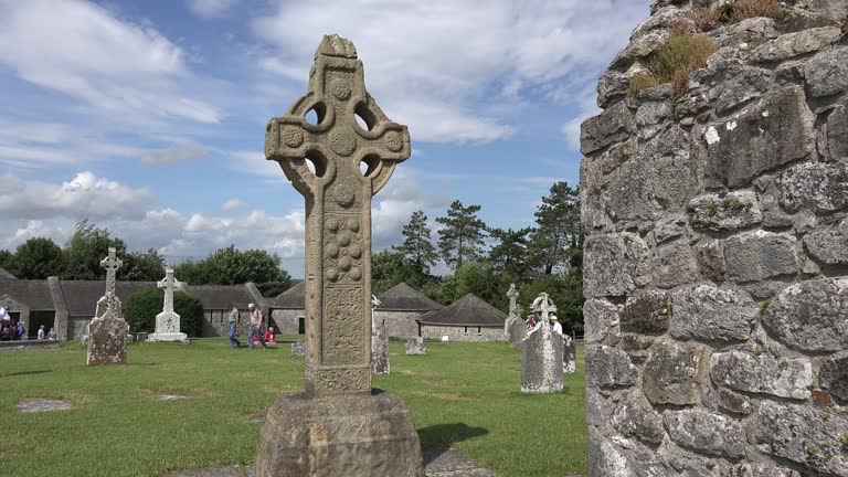 Cross in ClonegallCross · 781 yd
 European YewEuropean Yew · 1112 yd
 Clonogan WoodWood · 1136 yd
 Saint Brigid's Catholic Churchchurch/chapel · 1163 yd
 Huntington Castle & GardensHeritage attraction · 1.0 mi
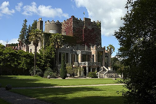 Huntington CastleHouse, fortified house · 1.0 mi
 Barragh Church (in ruins), GraveyardChurch · 2.3 mi
 Gibbet HillMountain / peak · 2.7 mi
 1798 rebellion Battle of Newtownbarry (AKA Bunclody) commemorative plaqueMemorial · 3.4 mi
 Bunclody 1798 Bicentenary MemorialMemorial · 3.4 mi
Other information
Photo: Credit not shown in the picture search · Rights wording not checked; contact us if this picture should be removed