What is recorded here
Grave Yard holds a ruined church and unnamed stones on a steep Cork slope, still receiving the occasional dead. The valley below has likely watched many funerals, though no name remains to mark them.
On break in steep ENE-facing slope, overlooking narrow valley. Small, subrectangular graveyard enclosed by stone wall. Ruined church (CO142-027002-) in centre; lines of low, uninscribed headstones to S and stone-built mausoleum and pyramidal gravemarker to N. Still in occasional use.
The above description is derived from the published 'Archaeological Inventory of County Cork. Volume 1: West Cork' (Dublin: Stationery Office, 1992). In certain instances the entries have been revised and updated in the light of recent research.
Date of upload/revision: 14 January 2009
A 19th-century Christian graveyard; significance lies in its association with a ruined church and as a local example of post-medieval funerary architecture.
The monument record does not grant public access. Check the route and ask the landowner before entering private land.
- What survives
- Recorded monument
Places near here
 Church (in Ruins)Church · 2 yd
 Christ Churchchurch/chapel · 220 yd
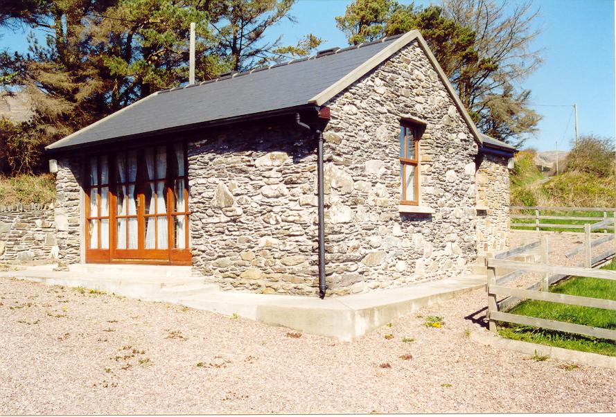 Enclosure in Aghatubrid MoreEnclosure · 727 yd
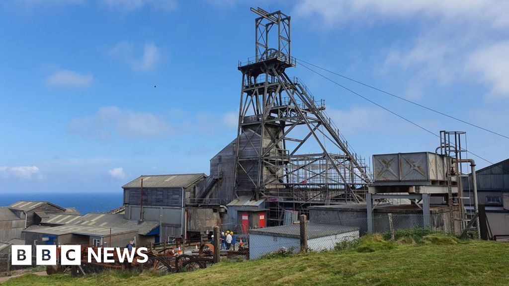 Manganese Mines (Disused)Mining complex · 779 yd
 Wild Atlantic WayVisitor information · 784 yd
 Myross PointHeadland · 1121 yd
 Coastguard StationRuins · 1249 yd
 Cooks WoodWood · 1263 yd
 Big HeightMountain / peak · 1266 yd
 Big BankMountain / peak · 1524 yd
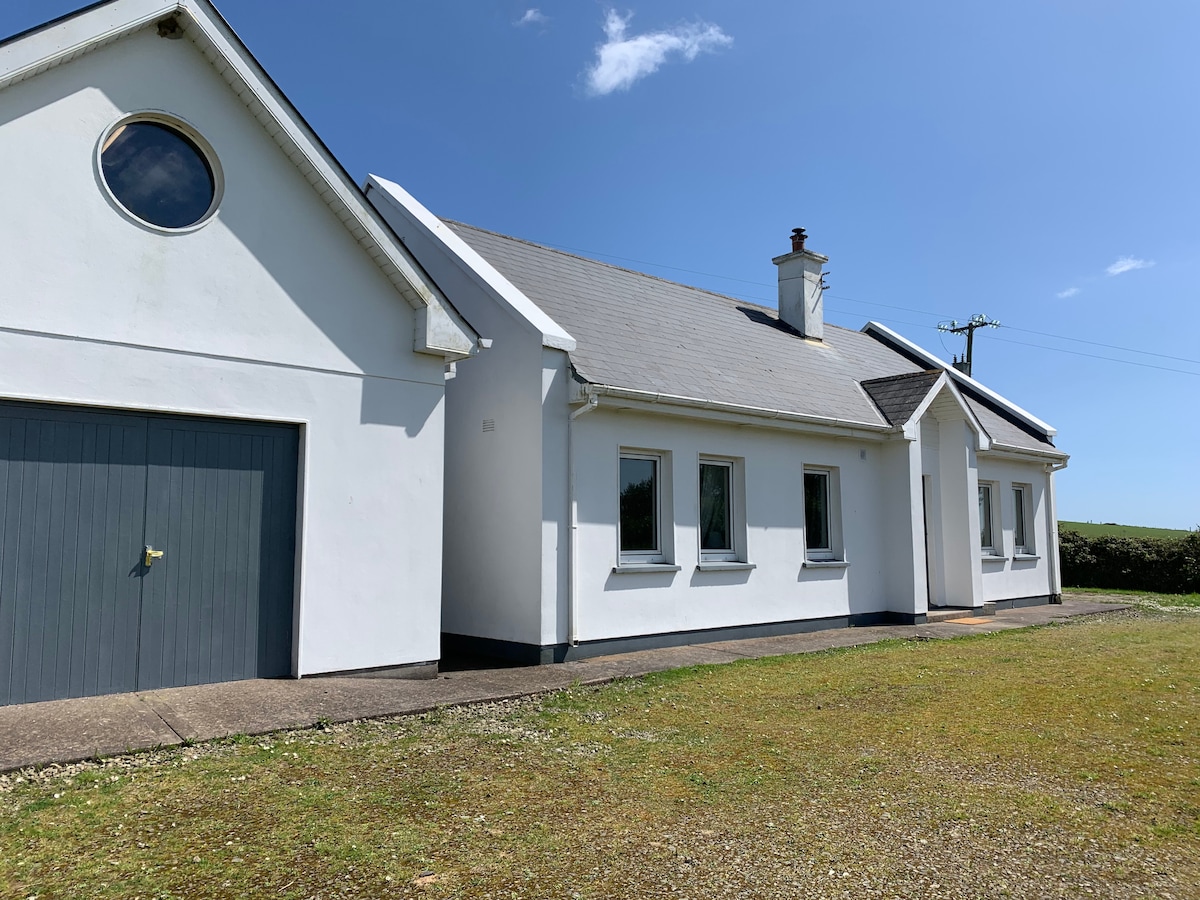 Tobar na gCapallSpring · 1609 yd
 Sitka SpruceSitka Spruce · 1.1 mi