
Places near here
Photo credits
- National Inventory of Architectural Heritage
- Aaron Poet, Wikimedia Commons · CC BY-SA 4.0
- JP, Wikimedia Commons · CC BY-SA 2.0
- Golfing in Ireland; photographer not stated, Source publisher
- St Brigid’s GAA official club page, article by Mark Hanley; individual photograph maker not stated, stbrigidsgaa.clubzap.com
- Rob Hurson, Wikimedia Commons · CC BY-SA 4.0
- Laurel Lodged, Wikimedia Commons · CC BY-SA 4.0
- Harold Strong, Geograph · CC BY-SA 2.0
 graveyard/cemetery9 yd
Explorer Tom Graveyard or cemetery in Abbotstown is overgrown with markers from before 1700, which means it has had about forty…
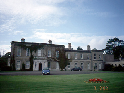 AbbotstownCountry house · 479 yd
Explorer Tom Abbotstown in Sheephill is a country house that would win Best in Show at the county fair just by standing there with…
 Ranelagh BridgeBridge · 724 yd
Explorer Tom Ranelagh Bridge has a long-standing grudge with the weather because every time it tries to be humpback chic, the rain…
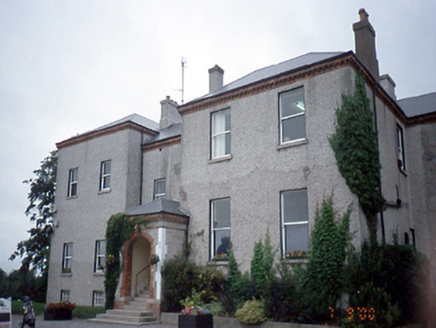 ElmgreenHouse · 735 yd
Explorer Tom Elmgreen in Dunsink is an 1850 house with a derelict gate lodge that looks like it’s giving up on life. It has…
 Talbot BridgeBridge · 889 yd
Explorer Tom Talbot Bridge in Blanchardstown is a single-arch granite humpback from 1819 that’s now just for people walking. It’s…
 Dunsink ObservatoryHeritage attraction · 1476 yd
Explorer Tom Dunsink Observatory reminds me that a good walk can produce more than sore feet. William Rowan Hamilton, one of its…
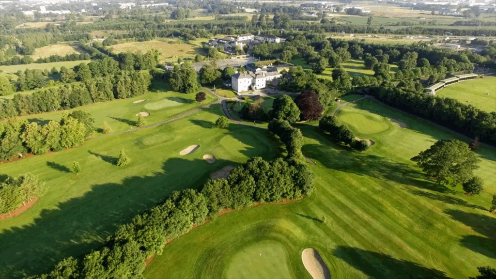 Elmgreen Golf ClubGolf course · 1478 yd
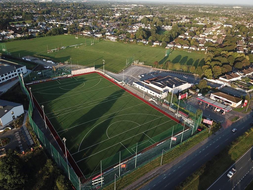 St. Brigids GAAGAA ground · 1489 yd
 Fairy fort or ringfort in CorduffFairy fort / ringfort · 1.1 mi
Explorer Tom Fairy fort or ringfort in Corduff is a 42-meter platform that looks like it’s been chewed on by time and then spit out…
 MoatMound · 1.4 mi
Explorer Tom Moat in Corduff is completely covered in brambles, looking like a giant green hedge that’s been left out in the rain…
 Castleknock CastleCastle · 1.5 mi
Explorer Tom Castleknock Castle in County Dublin has a New Year's resolution to stop leaning so much to the left. It sits atop a…
 TyrrelstownWood · 2.4 mi
Explorer Tom Tyrrelstown had a moment where a fox took charge of the whole operation and decided it was the new king of the hill.…
More archaeology and monuments in County Dublin · All of County Dublin

What do you know about this place?Tap to add a comment or ask a question