
What is recorded here
Located at eastern end of open space for Warrenstown housing estate, close to a stream that runs into the Tolka. The mound (diam.28m; H 2m) is completely overgrown with brambles and the area appears to have been used for construction scarping and dumping as well as domestic dumping. The mound is within an area designated as a flood plain.
From the National Monuments Service (Archaeological Survey of Ireland) record DU013-012
The monument record does not grant public access. Check the route and ask the landowner before entering private land.
- What survives
- Recorded monument
Places near here
 IndicatedFairy fort / ringfort · 548 yd
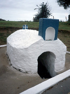 Lady's WellHoly well · 1007 yd
 Ladys WellHoly well · 1008 yd
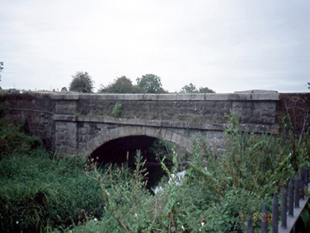 Mulhuddart BridgeBridge · 1052 yd
 Graveyard in BuzzardstownGraveyard · 1110 yd
 TyrrelstownWood · 1.1 mi
 Dunsink ObservatoryHeritage attraction · 2.1 mi
 Church, GraveyardChurch · 2.1 mi
 Castleknock CastleCastle · 2.4 mi
 Giant Sequoia2.7 mi
 Luttrellstown CastleCastle · 2.8 mi
 Griffeen Valley WalkWalking route · 4.6 mi
Pictures: Rob Hurson, Wikimedia Commons · CC BY-SA 4.0; National Inventory of Architectural Heritage; TeaTimeJ, Wikimedia Commons · CC BY-SA 4.0; Harold Strong, Geograph · CC BY-SA 2.0; JP, Wikimedia Commons · CC BY-SA 2.0; Laurel Lodged, Wikimedia Commons · CC BY-SA 4.0; Mike Murphy ( talk · contribs ), Wikimedia Commons · CC BY-SA 3.0; The British Library, Wikimedia Commons · No restrictions; jwd, Geograph · CC BY-SA 2.0
More archaeology and monuments in County Dublin · All of County Dublin
What do you know about this place?