What is recorded here
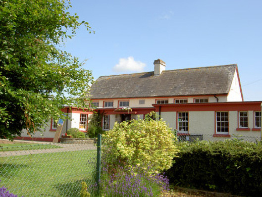
Detached national school, dated 1956, comprising six-bay double-height central block with pitched slate roof, having single-storey flat felt-roofed block projecting to front comprising three-bay entrance part flanked by three-bay forward-projecting wings, end bay having group of three narrow windows, with two-stage water tower to east end, connected to school proper with screen wall having arched doorway. Recent double-height monopitch building to west, across exercise yard. Cast-iron rainwater goods. Painted pebbledashed walls with smooth rendered plinth and having smooth rendered eaves band to flat-roofed block, and limestone date plaque to front elevation of main block. Square-headed window openings with six-over-six pane timber sliding sash windows, and having timber casement windows elsewhere, clerestorey to main block, all with painted sills. Square-headed main entrance door opening with timber battened door set in dressed sandstone surround. Pebbledashed boundary wall to front of site.
The layered form of this school building is typical of mid-twentieth-century design. Such schools were built by the Board of Education to house pupils from the surrounding rural hinterland, often replacing rundown schools built in the nineteenth century. The façade is enhanced by the retention of timber sash and casement windows and the informative date plaque. Located adjacent to the church, it forms a focal point within the village of Grange.
This does not grant access. Most recorded buildings are privately owned; view them only from public ground unless the owner allows entry.
Places near here
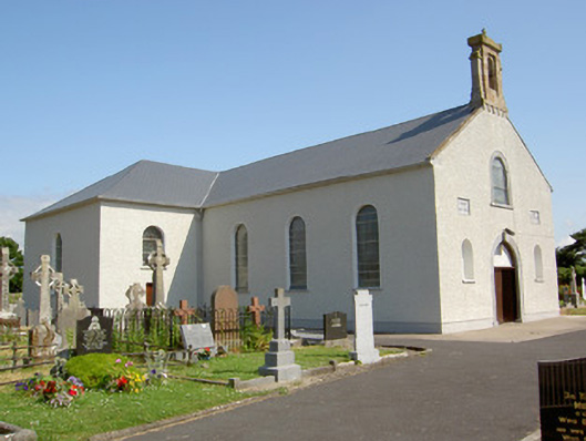 Saint Nicholas's Catholic Churchchurch/chapel · 359 yd
 Enclosure in Park (tullaghmelan Par.)Enclosure · 545 yd
 Enclosure in MonksgrangeEnclosure · 908 yd
 Ballindoney Castle (in ruins)Castle, tower house · 1700 yd
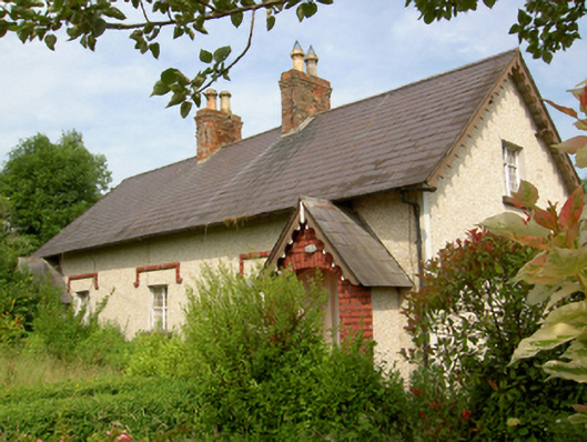 worker's houseworker's house · 1.1 mi
 Nicholastown Castle (in ruins)Castle, tower house · 1.1 mi
 DeerparkWood · 1.4 mi
 Hybrid Black PoplarHybrid Black Poplar · 1.6 mi
 Woodcock HillMountain / peak · 3.0 mi
 Cahir CastleHeritage attraction · 5.0 mi
 Grubb's IslandIslet · 5.1 miSiege of Cahir Castlesiege · 5.1 mi
Other information
Photo: National Inventory of Architectural Heritage · Website use allowed for educational or private purposes with source credit