What is recorded here
Fairy fort / earthen ringfort in Cloghanacody (Derrygrath parish) is a fairy fort or earthen ringfort in Cloghanacody (Derrygrath parish), County Tipperary, Ireland. It sits on a south-southwest-facing slope in meadow terrain. A 1.72m high bank and a 2m wide, 1.14m deep ditch mark its roughly circular boundary. The bank has eroded in the south-southeast quadrant, dropping earth into the ditch, while a possible 2m wide entrance with a causeway remains in the east quadrant.
In gently undulating terrain, just off the crest off a hill on a SSW-facing slope, in meadow. Depicted as roughly circular enclosure (diam. c. 42m N-S; c. 38m E-W) on the 1st (1840) ed. 6-inch OS map and as a slightly smaller circular enclosure (diam. c. 27m N-S; c. 28m E-W) on the 1904-05 ed., though on both maps the monument is enclosed by a field boundary. The monument is heavily overgrown with scrub and has been badly cattle poached. It is defined by scarp (H 1.72m over 4m) and a flat-bottomed fosse (Wth 2m; D 1.14m over 3m). The scarp has been eroded (Wth 3m) in SSE quadrant with collapsed earth falling into the fosse. The interior slopes to the SSW. There is a possible entrance in the E quadrant (Wth 2m) with a ramp and causeway over the fosse.
Compiled by: Jean Farrelly
Date of upload: 10 February 2014
The monument record does not grant public access. Check the route and ask the landowner before entering private land.
- What survives
- Recorded monument
Places near here
 Ballindoney Castle (in ruins)Castle, tower house · 577 yd
 Enclosure in KilmalogeEnclosure · 1548 yd
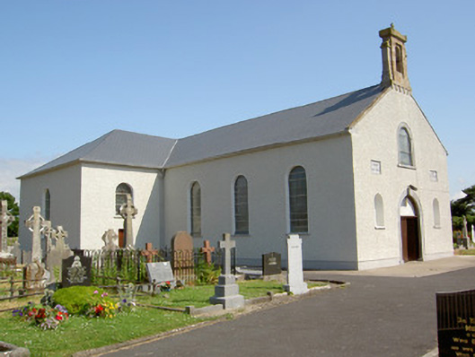 Saint Nicholas's Catholic Churchchurch/chapel · 1.1 mi
 Lisnamuck (Site of)Enclosure · 1.1 mi
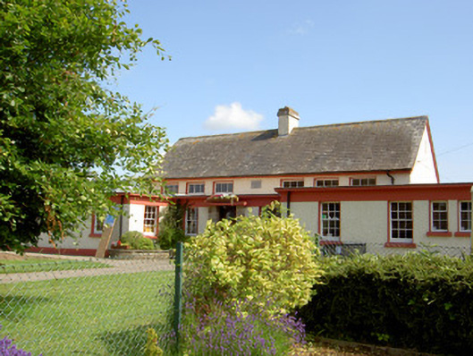 Grange National Schoolschool · 1.3 mi
 Woodcock HillMountain / peak · 1.8 mi
 Nicholastown Castle (in ruins)Castle, tower house · 1.8 mi
 DeerparkWood · 2.7 mi
 Hybrid Black PoplarHybrid Black Poplar · 2.8 mi
 Cahir CastleHeritage attraction · 4.0 miSiege of Cahir Castlesiege · 4.2 mi
 Caher AbbeyHeritage attraction · 4.3 mi