
What is recorded here
Nicholastown Castle is a ruined tower house on a sharp limestone edge in County Tipperary, built by the Keatinge family and still standing within its old bawn. John Keting appeared in local papers in 1542, and Richard Keatinge owned the land in 1640, suggesting the stone walls have watched the same pasture for centuries. The brokenbartizan still points three gun-loops into the sky, while collapsed marble fills the centre like a forgotten room.
On the edge of a limestone outcrop with a sharp drop immediately E of the site, in pasture, c.100m SW of Garryroe House. John Keting of 'Nicholestown' is named in an indenture of 1542 (COD IV, 230). According to the Civil Survey (1654-6), the land at 'Nickolstowne' was owned by 'Richard Keatinge of Nickolstowne, Esqr Irish Papist' in 1640 and 'Upon the sd lands stands a Castle, the walls of a house within a bawne' (Simington 1931, vol. 1, 317). This ruined tower house is located in the NW angle of a rectangular bawn (TS082-043002-). The tower house (int. dims. 7.15m x c.7.1m; walls 2.4m T) is constructed of roughly cut limestone blocks, randomly coursed, with pebble-filled mortar and base-batter (H 3m; Wth c.0.4m). Cut stone quoins survive on the upper level of the NW angle and at the base of the NE angle. The N wall partially survives up to parapet level and part of the N end of the W wall survives. The E end of the S wall also survives, though the SE angle is gone. There is a lot of collapsed rubble around the base of the walls in the interior, with a large hollow in the centre. There is a central broken-out window in the N wall at ground-floor and first-floor level and a wall-cupboard visible at first-floor level. The stairs do not survive but were probably located at the SE angle, where a door jamb projects from the S wall. With stairs in this angle, it is likely that the entrance was on the E wall, within the bawn. The second floor was vaulted, springing from the E and W walls, though it only survives at the N end of the W wall. There is evidence of a mural chamber in the thickness of the N wall, at second-floor level. Remains of a third floor are visible at the NW angle with evidence of a parapet and circular bartizan above. The bartizan has three surviving gun-loops. It rests on a double corbel on the N and W walls, with a single, chamfered corbel on the angle and two gutter-stones projecting from the base.
Compiled by: Jean Farrelly
Date of upload: 26 August 2011
Nicholastown Castle was built in the 16th century, with John Keting of Nicholastown named in a 1542 legal document, indicating the family's presence and status in the area. The castle is remembered for its historical association with local landholding families during the Tudor period.
The monument record does not grant public access. Check the route and ask the landowner before entering private land.
- What survives
- Recorded monument
Places near here
 Enclosure in NicholastownEnclosure · 1015 yd
 IndicatedEnclosure · 1266 yd
 Derrygrath Church (in ruins)Church · 1.1 mi
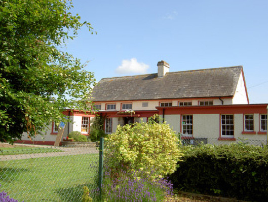 Grange National Schoolschool · 1.1 mi
 Ballindoney Castle (in ruins)Castle, tower house · 1.5 mi
 DeerparkWood · 1.8 mi
 Coolbane Castle (in ruins)Castle, tower house · 2.0 mi
 Marlfield Forest Recreation AreaWood · 2.1 mi
 Woodcock HillMountain / peak · 3.4 mi
 European long distance path E8 - part IrelandWalking route · 4.2 mi
 Cahir CastleHeritage attraction · 4.4 miSiege of Cahir Castlesiege · 4.5 mi
Other information
Photo: Mike Searle · CC BY-SA 2.0