
What is recorded here
On a gentle S-facing slope in undulating terrain, just off crest of hill, under tillage. An enclosure (TS082-094----) is located c. 100m to the SW. Identified as a circular cropmark on an aerial photograph (ASIAP (28) 22, 3.8.1996). There is no visible trace of the enclosure above ground.
Compiled by: Jean Farrelly
Date of upload: 24 February 2014
This remains an important historical record, but the official description says the monument is no longer visible or has been destroyed. The monument record does not grant public access. Check the route and ask the landowner before entering private land.
- What survives
- No visible remains or recorded as destroyed
Places near here
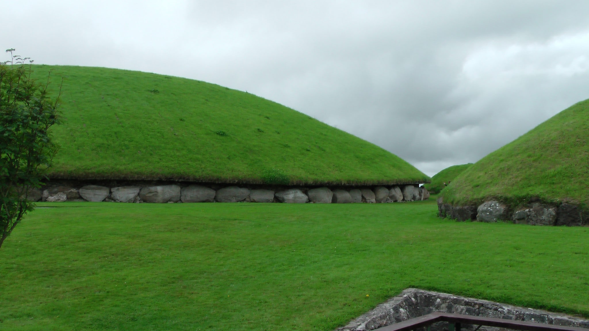 Enclosure in MonksgrangeEnclosure · 586 yd
 Man-made underground passage in GarryntempleMan-made underground passage · 949 yd
 Nicholastown Castle (in ruins)Castle, tower house · 1015 yd
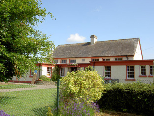 Grange National Schoolschool · 1279 yd
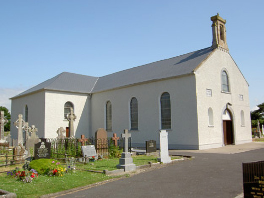 Saint Nicholas's Catholic Churchchurch/chapel · 1479 yd
 DeerparkWood · 1.3 mi
 Ballindoney Castle (in ruins)Castle, tower house · 1.4 mi
 Marlfield Forest Recreation AreaWood · 1.6 mi
 Woodcock HillMountain / peak · 3.5 mi
 Grubb's IslandIslet · 4.7 mi
 Francis HopkinsMemorial · 4.9 mi
 John HackettMemorial · 4.9 mi
Other information
Photo: Credit not shown in the picture search · Rights wording not checked; contact us if this picture should be removed