
What is recorded here
On the summit of a hill in undulating terrain. The Man-made underground passage was identified during the construction of the Cork-Dublin gas pipeline. It was noted to be within the W half of a previously unrecorded, levelled ringfort (TS082-045001-) (Hurley 1987, 65). The Man-made underground passage (L 16m) consisted of three chambers running from E to W, all sub-rectangular in plan (L 2.4m x Wth 2m x H 0.6m; L 3m x Wth 1.77m x H 1.8m; L 2.6m x Wth 2.25m x H 1.8m), connected by narrow creepways (ibid. 66-8). The chambers were of dry-stone walling construction, built of roughly coursed limestone, with corbelled roofs capped by large stone slabs (ibid.). There were two separate entrances, facing N and E respectively, which led to one entrance passage (Wth 0.7m; H 0.6-1m) (ibid.). Finds included a polished bone point, part of a bronze ringed-pin and a small quantity of animal bones (ibid 68-70).
Hurley, M. F. 1987 'Garryntemple, Grange, Co. Tipperary'. In Cleary, R. M.; Hurley, M. F. and Twohig, E. A. (eds) Archaeological excavations on the Cork-Dublin gas pipeline (1981-82). Department of Archaeology, University College Cork.
Compiled by: Jean Farrelly
Date of upload: 26 August 2011
The monument record does not grant public access. Check the route and ask the landowner before entering private land.
- What survives
- Recorded monument
Places near here
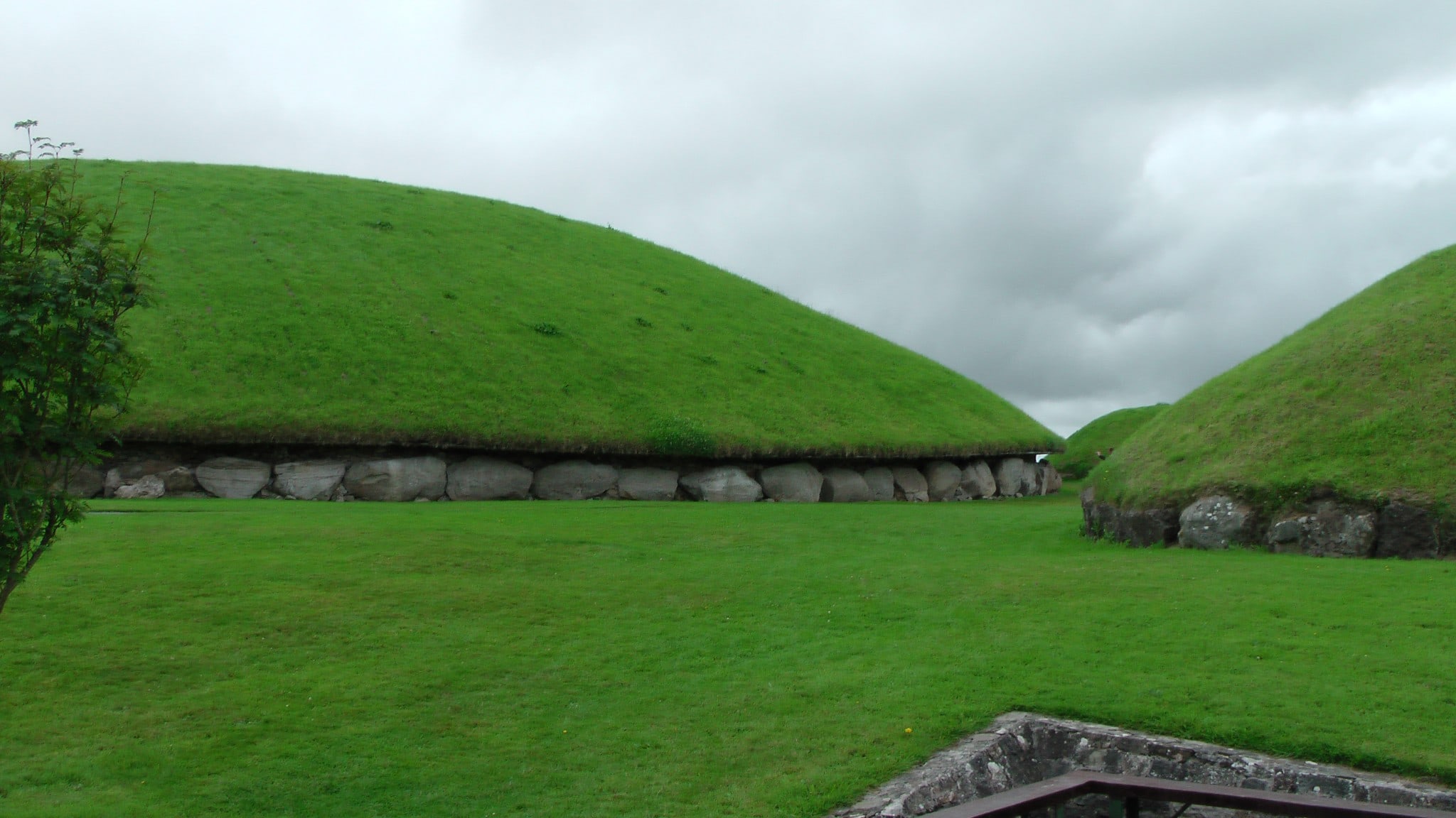 Enclosure in MonksgrangeEnclosure · 365 yd
 Enclosure in NicholastownEnclosure · 949 yd
 Nicholastown Castle (in ruins)Castle, tower house · 1275 yd
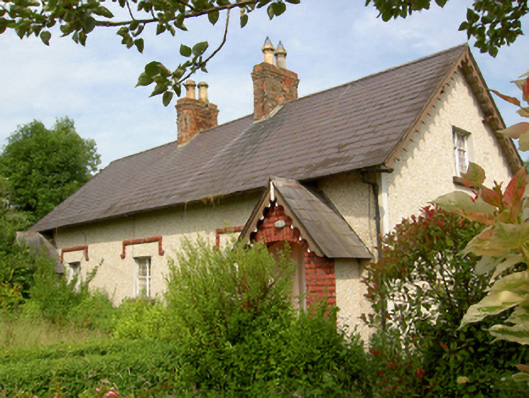 worker's houseworker's house · 1.2 mi
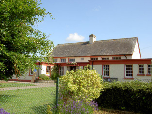 Grange National Schoolschool · 1.2 mi
 DeerparkWood · 1.3 mi
 Marlfield Forest Recreation AreaWood · 1.4 mi
 CastleCastle, ringwork · 1.9 mi
 Woodcock HillMountain / peak · 4.0 mi
 Grubb's IslandIslet · 4.4 mi
 Streches IslandIsland · 4.4 mi
 Francis HopkinsMemorial · 4.5 mi
Other information
Photo: Credit not shown in the picture search · Rights wording not checked; contact us if this picture should be removed