
What is recorded here
Graiguealug Castle vanished completely, leaving no visible trace despite appearing in ruins on the 1839 map. Local tradition claims three castles once stood in that townland, suggesting repeated building and loss rather than a single forgotten event. The complete disappearance defies ordinary decay, as if the land itself swallowed the stone and every memory attached to it.
The following description is derived from the published 'Archaeological Inventory of County Carlow' (Dublin: Stationery Office, 1993). In certain instances the entries have been revised and updated in the light of recent research.
Date of upload/revision: 17 July 2007
OS Letters record tradition of three castles in this townland (OSL 1839, 26). Shown on 1839 'OS 6-inch' map and marked 'in ruins' . No visible trace.
Graiguealug Castle was a 15th-century tower house, likely built by the Butler family, who were prominent landowners in the area during the medieval period. It is remembered as an example of early Irish defensive architecture and for its historical association with the powerful Butler earls of Ormond.
This remains an important historical record, but the official description says the monument is no longer visible or has been destroyed. The monument record does not grant public access. Check the route and ask the landowner before entering private land.
- What survives
- No visible remains or recorded as destroyed
Places near here
 Enclosure in GraiguealugEnclosure · 352 yd
 EnclosureEnclosure, large enclosure · 630 yd
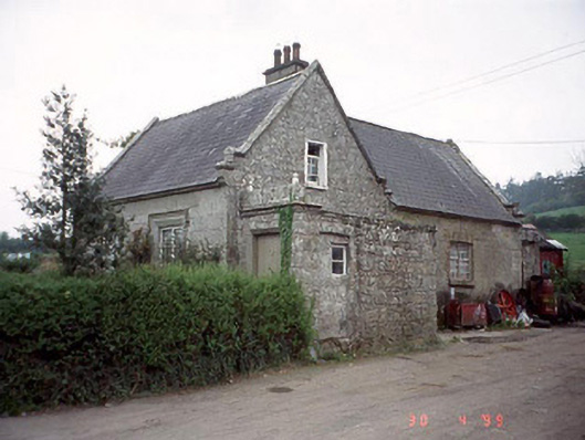 Graiguenaspiddoge National Schoolschool · 705 yd
 Graiguenaspiddoge Castle in ruinsCastle, tower house · 757 yd
 Church (in ruins), GraveyardChurch · 1494 yd
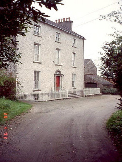 Kyleballyhuehouse · 1715 yd
 Ballynunnery Castle in ruinsCastle, unclassified · 1.4 mi
 Kilmurry Church (in ruins), GraveyardChurch · 1.7 mi
 Pedunculate OakPedunculate Oak · 1.8 mi
 Common LimeCommon Lime · 3.5 mi
 Brownshill Portal TombVisitor information · 4.9 mi
 Carlow County MuseumMuseum · 5.5 mi
Other information
Photo: Credit not shown in the picture search · Rights wording not checked; contact us if this picture should be removed