What is recorded here
Thirty metres across on a steep Carlow slope, the enclosure tilts so far that its interior rises sharply west of centre. A low bank and deep fosse mark the edge, yet the unusual position suggests human ingenuity rather than standard ringfort practice.
The following description is derived from the published 'Archaeological Inventory of County Carlow' (Dublin: Stationery Office, 1993). In certain instances the entries have been revised and updated in the light of recent research.
Date of upload/revision: 17 July 2007
Circular area on steep slope. Apparently enclosed by fosse, but deeply into slope above interior (int. diam. c. 30m, max. diam. c. 40m). Interior rises steeply to W of centre. Low bank inside fosse, visible chiefly at E. Overgrown. Location unusual for ringfort.
The monument record does not grant public access. Check the route and ask the landowner before entering private land.
- What survives
- Recorded monument
Places near here
 Graiguealug Castle in ruinsCastle, unclassified · 352 yd
 EnclosureEnclosure, large enclosure · 505 yd
 Graiguenaspiddoge Castle in ruinsCastle, tower house · 743 yd
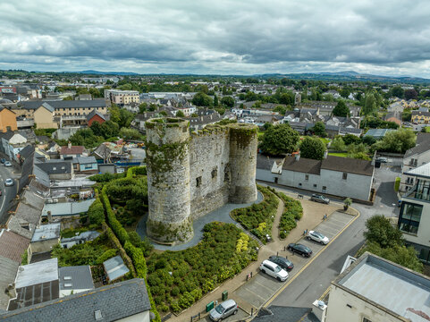 Enclosure in KnockbowerEnclosure · 900 yd
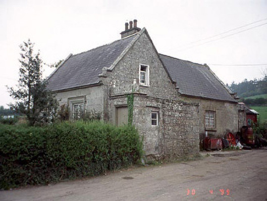 Graiguenaspiddoge National Schoolschool · 1036 yd
 Church (in ruins), GraveyardChurch · 1428 yd
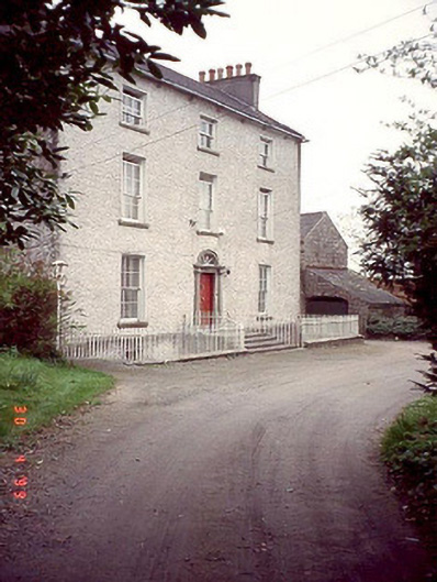 Kyleballyhuehouse · 1.2 mi
 Kilmurry Church (in ruins), GraveyardChurch · 1.9 mi
 Pedunculate OakPedunculate Oak · 2.0 mi
 Common LimeCommon Lime · 3.4 mi
 Carlow County MuseumMuseum · 5.6 mi
 The Columban WayVisitor information · 5.7 mi
Other information
Photo: Credit not shown in the picture search · Rights wording not checked; contact us if this picture should be removed