What is recorded here
Two opposed stones still protrude from an earthen field fence near Quigley's Point, marking what was once a chamber tomb large enough to hold more than one dead person. Its roof and side stones have been taken at different times, leaving a ruined gap where a chamber should be. The place sits between open pasture, Lough Foyle and the rising slope toward Crockglass, as if the grave had been built into the edge of a living landscape rather than hidden from it.
The monument is c. 2km due W of Quigley's Point, which lies on the western shore of Lough Foyle. The immediate vicinity of the site provides level pasture. Toward the E is a gentle fall to the lough, and to the W is a steady rise to the summit of Crockglass, 2km away.
This greatly ruined monument is incorporated in an earthen field fence. Two opposed orthostats, 1.4m apart and aligned NNE-SSW, protrude from the northern face of the fence. Immediately S of each a partly concealed stone rises above the top of the earthen bank. The orthostat to the E is 1.1m high. That to the W is 0.6m high. The eastern one of the two partly concealed stones rises 0.4m above the slope of the earthen bank and 0.3m above the adjoining orthostat. The western stone is almost wholly concealed. It rises only 0.15m above the top of the fence. Approximately 1m S of this is an upright stone at the S side of the fence. This is 0.7m long, 0.45m thick and 1.2m high. It may not be in situ. Two metres to the E a displaced slab, 1.8m by 0.6m, lies against the fence.
According to an account in an OS Revision Name Book (1848), the structure then measured 12 feet (c. 3.65m) long and 4 feet (c. 1.2m) wide internally and was composed of stones set on edge, three at the W and four at the E. The stones are noted as varying from 1 foot to 31/2 feet (c. 0.3m to c. 1.05m) high. It is also recorded that a 'flag' that had covered the structure had been removed a short time before the site was visited. In 1943 Colhoun (1995) noted the 'recent' occurrence of destruction at the monument, including the removal of a roofstone. In 1982, when surveying the monument, we were informed that a stone had been removed from each side of its northern end within local memory. The remains are clearly those of a megalithic tomb but must remain unclassified.
OS Revision Name Book, sheet 30 (1848), 59; Colhoun 1949, 117; Killanin and Duignan 1962, 380; Killanin and Duignan 1967, 381; Ó Nualláin 1983a, 46, no. 139; SMR 1987, 30:8; Ó Nualláin 1989, 142; Colhoun 1995, 78, no. 30/11; RMP 1995, 30:8.
The above description was published in the 'Survey of the Megalithic Tombs of Ireland. Volume VI, County Donegal.' Compiled by: Eamon Cody (Dublin: Stationery Office, 2002).
Date of upload: 22 September 2008
See linked document with details from Eamon Cody, Survey of the Megalithic Tombs of Ireland. Volume VI. County Donegal. (Dublin: Stationery Office, 2002)
Portal dolmen; likely dates to the Early Bronze Age. Its location near Lough Foyle suggests it may be part of a broader network of ritual or funerary monuments in the region.
The monument record does not grant public access. Check the route and ask the landowner before entering private land.
- What survives
- Recorded monument
Places near here
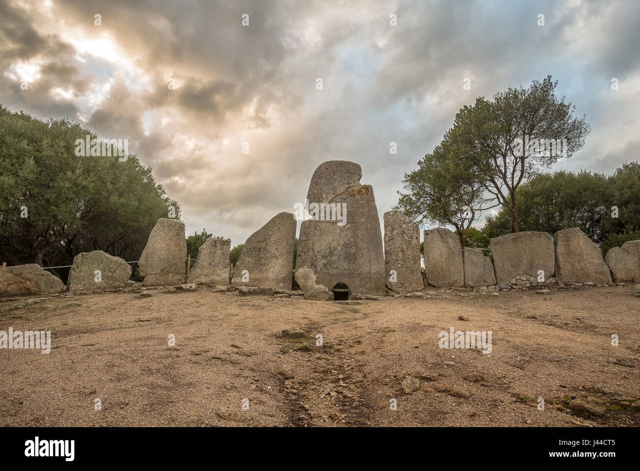 Giant's GraveArchaeological place · 55 yd
 OutlinedHoly well · 1.1 mi
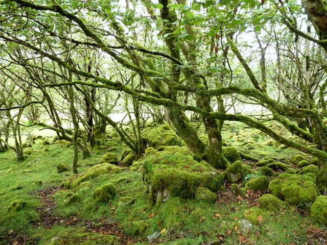 Three Trees Ecclesiastical EnclosureEcclesiastical enclosure · 1.1 mi
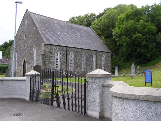 Greenbank Presbyterian Churchchurch/chapel · 1.1 mi
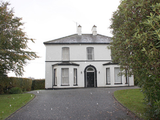 The Mansemanse · 1.2 mi
 Quigley's PointHeadland · 1.6 mi
 Eskaheen GraveyardGraveyard · 3.4 mi
 Muff ForestWoodland walk · 4.1 mi
 CroaghmoreMountain / peak · 4.4 mi
 Site of Red CastleCastle, unclassified · 4.7 mi
 Scalp MountainMountain / peak · 5.9 mi
 CASTLE & EARTHWORK ENCLOSURE: DOHERTY TOWER or CASTLE AILEACH in Elagh MoreCASTLE & EARTHWORK ENCLOSURE: DOHERTY TOWER or CASTLE AILEACH · 7.6 mi