What is recorded here
Situated in a hollow in an undulating area where turf has been cut away. It is marked only on the 1910 ed. of the OS 6-inch map where it is described in gothic lettering as a as a ‘Giant’s Grave’. Several slabs lie in a clearing in the bog, but there is no clear evidence that they formed a structure. (de Valera and Ó Nualláin 1972, 83)
The above description is derived from 'The Archaeological Inventory of County Leitrim' compiled by Michael J. Moore (Dublin: Stationery Office, 2003). In certain instances the entries have been revised and updated in the light of recent research.
Date of upload: 23 September 2008
The monument record does not grant public access. Check the route and ask the landowner before entering private land.
- What survives
- Recorded monument
Places near here
 Giant's GraveArchaeological place · 17 yd
 Sweathouse in TawnaleckSweathouse · 653 yd
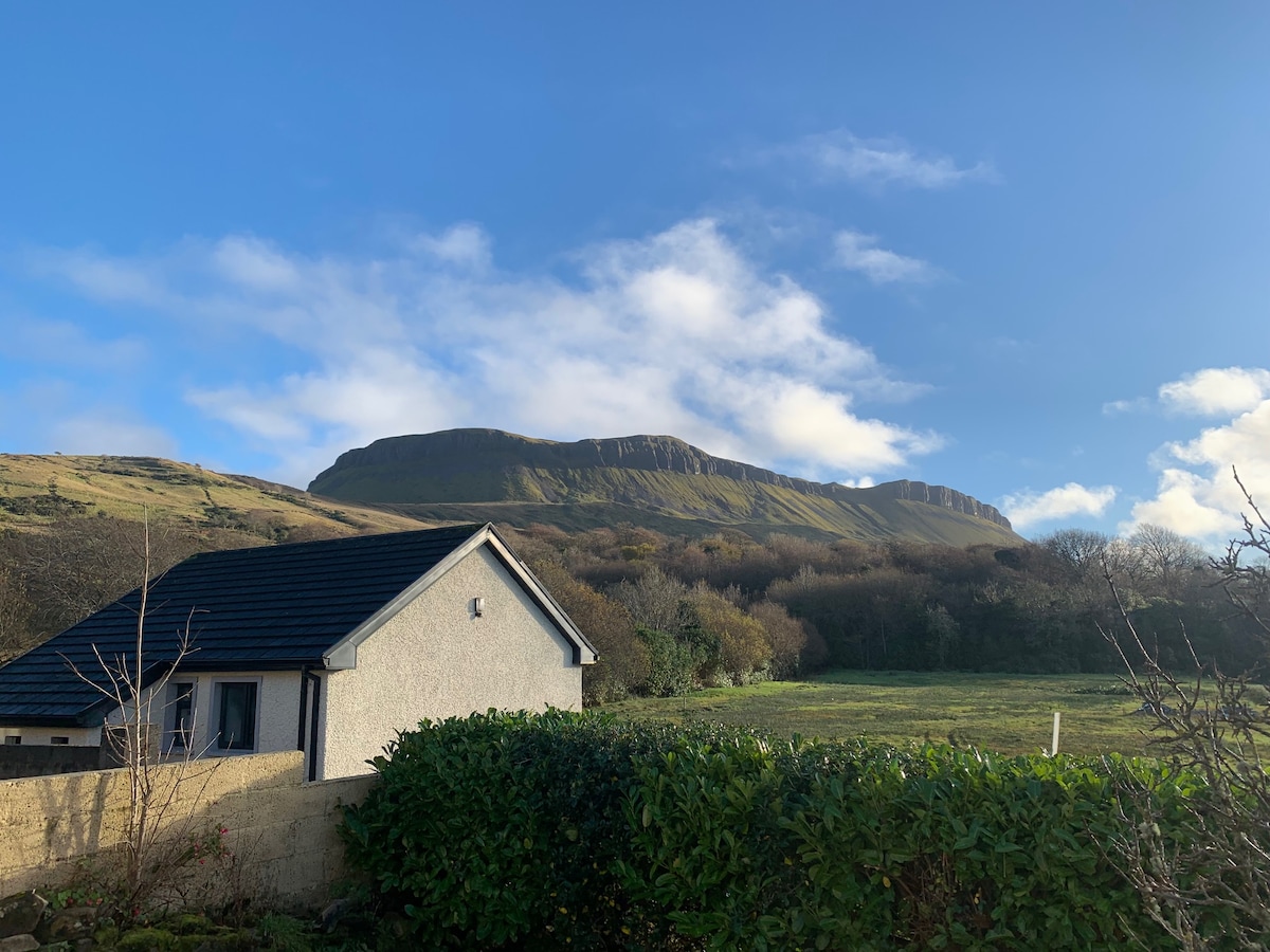 Sweathouse in DrunganSweathouse · 752 yd
 Fowley's FallsPicnic place · 1333 yd
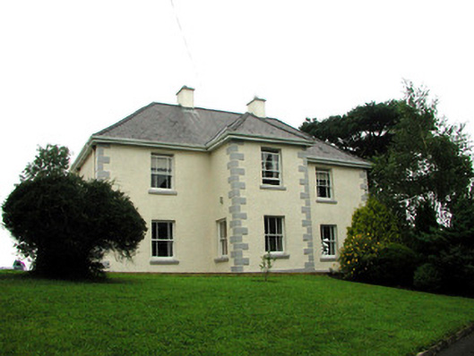 presbytery/parochial/curate's housepresbytery/parochial/curate's house · 1.2 mi
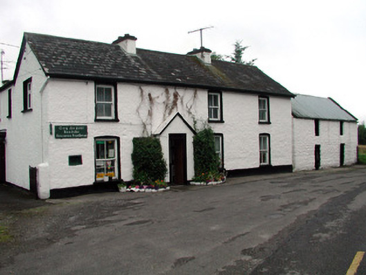 Rossinver Post Officehouse · 1.2 mi
 Ross PointHeadland · 1.4 mi
 Sally IslandIslet · 2.6 mi
 GorminishIslet · 2.6 mi
 Conwal NorthMountain / peak · 2.6 mi
 Agow TopMountain / peak · 2.9 mi
 Kilroosk RockNamed rock · 3.9 mi