What is recorded here
Half a kilometre from the Lough Melvin shore, a grass-covered ring stands in low ground, its earthen bank still two metres high on the outside and steep enough to mark the boundary between then and now. The entrance has vanished under growth, which fits: a place built to keep people out stops needing a door once people stop coming. Walk the eastern scarp at dusk and the lake appears and disappears through the trees, as if the ring were still deciding whether to show itself.
In a low-lying position close to the SW shore of Lough Melvin. Grass-covered subcircular area (int. dims 31m E-W; 26m N-S) defined by an earthen bank (Wth 5m; int. H 0.25m; ext. H 2m) with trees at W which is reduced to a steep, overgrown scarp (H. 0.6m at S to 4m at NE, downslope) elsewhere. The original entrance is not identified
The above description is derived from 'The Archaeological Inventory of County Leitrim' compiled by Michael J. Moore (Dublin: Stationery Office, 2003). In certain instances the entries have been revised and updated in the light of recent research.
Date of upload: 23 September 2008
The monument record does not grant public access. Check the route and ask the landowner before entering private land.
- What survives
- Recorded monument
Places near here
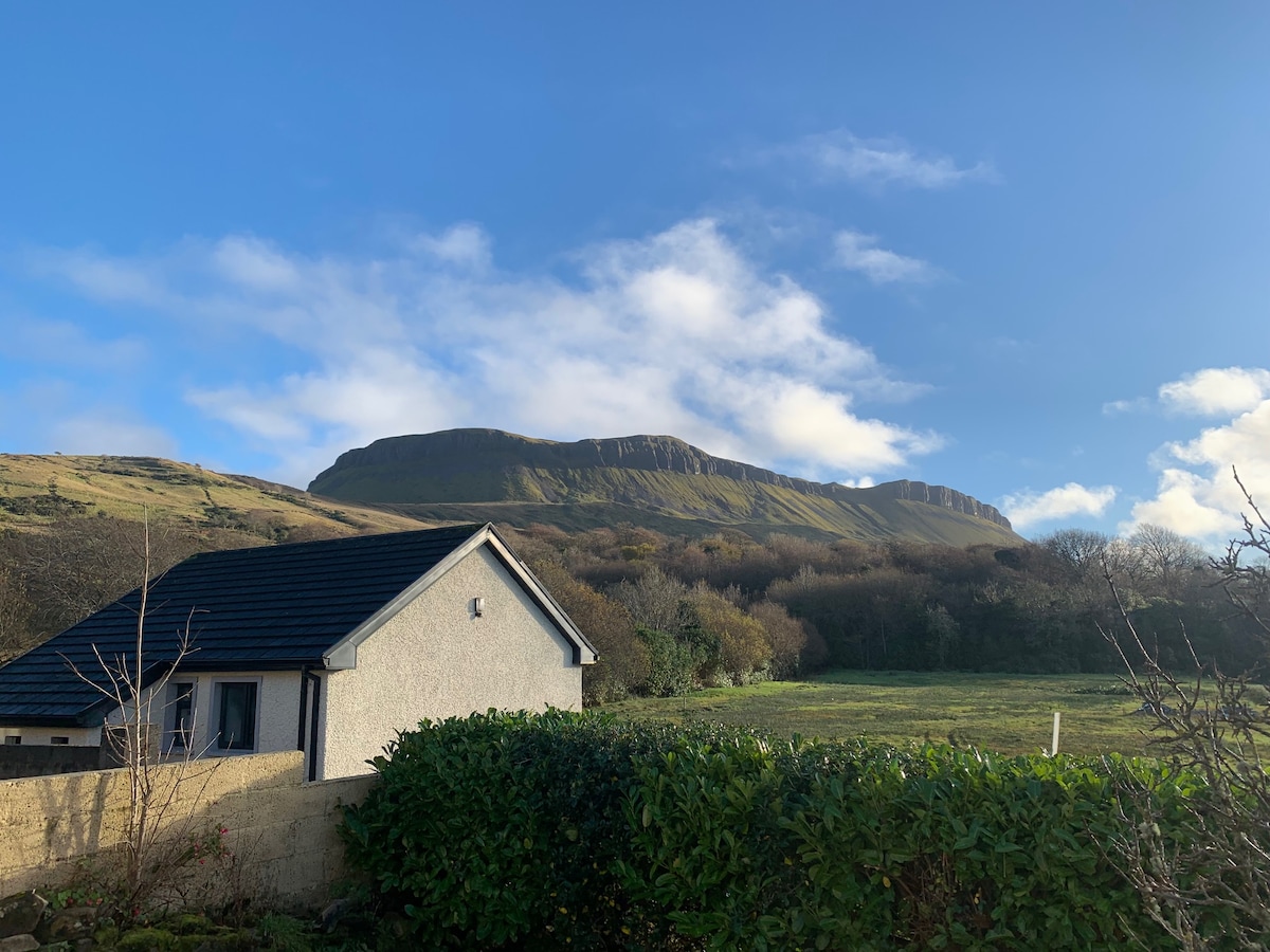 Sweathouse in DrunganSweathouse · 981 yd
 Ross PointHeadland · 1019 yd
 Sweathouse in TawnaleckSweathouse · 1052 yd
 Giant's GraveArchaeological place · 1581 yd
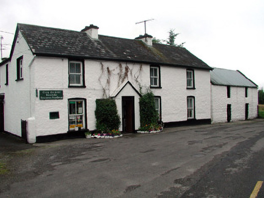 Rossinver Post Officehouse · 1.2 mi
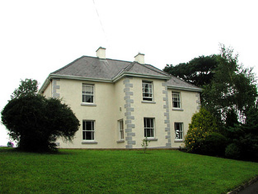 presbytery/parochial/curate's housepresbytery/parochial/curate's house · 1.3 mi
 Fowley's FallsPicnic place · 1.5 mi
 Sally IslandIslet · 1.7 mi
 GorminishIslet · 1.8 mi
 Conwal NorthMountain / peak · 2.9 mi
 Saddle HillMountain / peak · 3.7 mi
 Kilroosk RockNamed rock · 4.7 mi