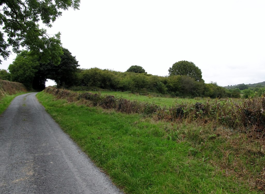
What is recorded here
From the National Monuments Service (Archaeological Survey of Ireland) record LE005-003010
Places near here
Photo credits
- Maker not stated on source page, www.pinterest.com
- Maker not stated on source page, www.tripadvisor.ie
- Maker not stated on source page, www.alamy.com
- Oliver Dixon, Geograph · CC BY-SA 2.0
- Maker not stated on source page, www.dreamstime.com
- National Inventory of Architectural Heritage
- Maker not stated on source page, www.ireland.com
- Kmcnamee, Wikimedia Commons · CC BY-SA 4.0
- Maker not stated on source page, ca.pinterest.com
- Kenneth Allen, Geograph · CC BY-SA 2.0
- Maker not stated on source page, au.pinterest.com
 Holy well in GubalaunHoly well · 27 yd
Explorer Tom Holy Well in Gubalaun is where a priest once lost a bet and now pays for his mistakes in stone. St Mogue’s spot is…
 Rossinver CemeteryCemetery · 180 yd
Explorer Tom Rossinver Cemetery says the Vikings got lost looking for it and ended up camping in the wrong field entirely, which was…
 Church (in Ruins)Church · 193 yd
Explorer Tom Church in Gubalaun has a curse that only affects people who don't wave at it properly. St Maedoc founded it in the…
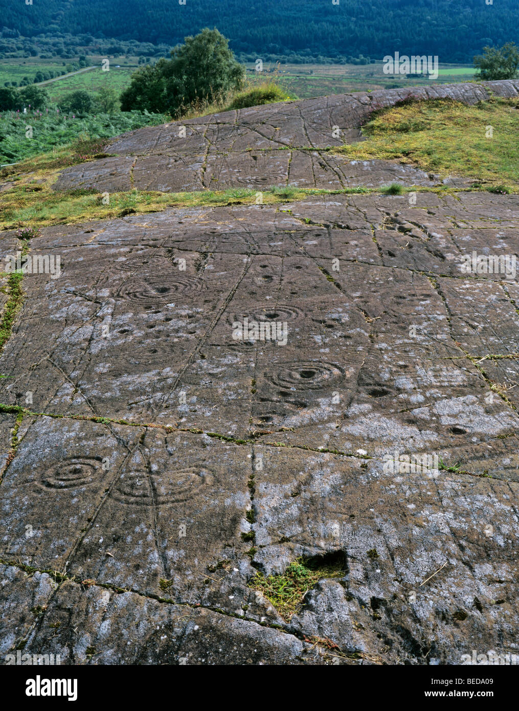 Cupmarked stone in GubalaunCupmarked stone · 197 yd
Explorer Tom Cupmarked stone in Gubalaun is basically a headstone with two little divots on top. Saint Patrick probably would’ve…
 Ross PointHeadland · 667 yd
Explorer Tom Ross Point would teach history if it had to, but it only knows how to sit there and stare at the water like a bored…
 Fairy fort / earthen ringfort in DrunganFairy fort / earthen ringfort · 1064 yd
Explorer Tom Fairy fort / earthen ringfort in Drungan is where the fairies held a dance that went on until dawn and nobody stopped…
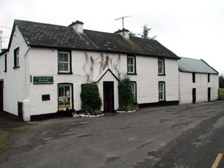 Rossinver Post OfficeHouse · 1322 yd
Explorer Tom Rossinver Post Office is still using its original cast-iron box because it simply refuses to modernize like a stubborn…
 Glenaniff WaterfallPicnic place · 1.3 mi
Explorer Tom Glenaniff Waterfall in County Leitrim would survive a zombie attack by simply letting them slip on the wet rocks and…
 St. Mary's Park, St. Mary's GAA, DevenishGAA ground · 1.3 mi
 Roogagh WaterfallWaterfall · 1.9 mi
Explorer Tom Roogagh Waterfall is actually much older than anyone thinks; I bet it was splashing before your…
 Sally IslandIslet · 1.9 mi
Explorer Tom Sally Island thinks tourists from Dublin are loud, overpriced, and smell faintly of espresso beans and bad decisions…
 Graveyard in DerrynahimmirkGraveyard · 1.9 mi
Explorer Tom Graveyard in Derrynahimmirk has a fairy dispute over parking rights that has lasted for two hundred years. The grave…
More archaeology and monuments in County Leitrim · All of County Leitrim

What do you know about this place?Tap to add a comment or ask a question