What is recorded here
On flat, low-lying ground c. 50m from the S shore of Lough Melvin. The site of St Mogue's Well lies c. 150mto NE of the church (LE005-003001-). There is a slightly sunken area with some stones visible. According to John O’Donovan writing in the 1830s the pattern was celebrated on January 31st (O’Flanagan 1929, 127), but it is no longer held. (Davies 1946b, 76-9; Weir 1980a, 173-4)
Compiled by: Michael Moore
Date of upload: 7 January, 2016
From the National Monuments Service (Archaeological Survey of Ireland) record LE005-003003
The monument record does not grant public access. Check the route and ask the landowner before entering private land.
- What survives
- Recorded monument
Places near here
 Ross PointHeadland · 678 yd
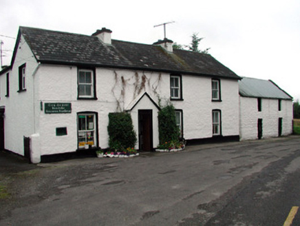 Rossinver Post OfficeHouse · 1309 yd
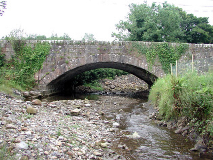 bridge1429 ydIndicatedFairy fort / ringfort · 1707 ydGiant's GraveArchaeological place · 1.1 miFowley's FallsPicnic place · 1.4 miGiant's GraveArchaeological place · 1.9 mi
 Sally IslandIslet · 1.9 mi
 GorminishIslet · 2.1 mi
 Saddle HillMountain / peak · 3.4 mi
 Dough MountainMountain / peak · 4.8 mi
 Corracloona Court TombArchaeological place · 6.2 mi
Pictures: Oliver Dixon, Geograph · CC BY-SA 2.0; National Inventory of Architectural Heritage; Kenneth Allen, Geograph · CC BY-SA 2.0; Kevin Flanagan, Geograph · CC BY-SA 2.0; Richard Webb, Geograph · CC BY-SA 2.0; Kenneth Allen, Wikimedia Commons · CC BY-SA 2.0
More archaeology and monuments in County Leitrim · All of County Leitrim
What do you know about this place?