What is recorded here
On a gentle SW-facing slope, c. 200m from the shore if an E arm of Lough Key, c. 800m NW of where the Boyle river leaves the lake. Two stones placed 7m apart are aligned WNW-ESE. The W stone (dims 1.65m x 0.25-0.5m; H 1.25m) is oriented NW-SE and the E stone (dims 1.95m x 0.2m; H 1.1m) is oriented NW-SE. (deValera and O'Nuallain 1972, 41)
See the attached view taken from the E.
Compiled by: Michael Moore
Date of upload: 24 August 2010
Likely dating to the Neolithic or Early Bronze Age, Giants Grave, Kilfaughna may have functioned as a ritual or territorial marker. The alignment and placement suggest possible ceremonial or astronomical significance, though specific folklore or use remains unrecorded.
The monument record does not grant public access. Check the route and ask the landowner before entering private land.
- What survives
- Recorded monument
Places near here
 indicatedFairy fort / earthen ringfort · 753 yd
 Tober PatrickHoly well · 1238 yd
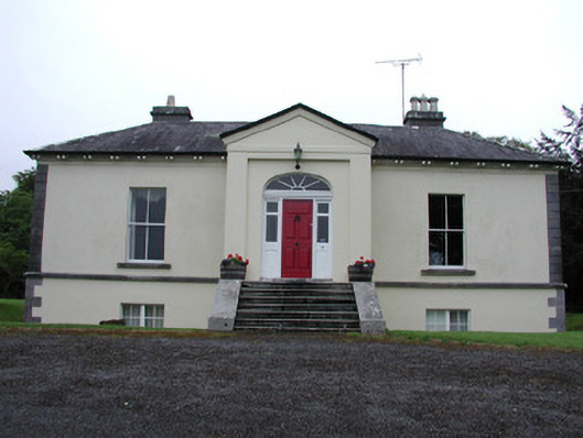 Riversdale Housecountry house · 1296 yd
 Lahan IslandIslet · 1312 yd
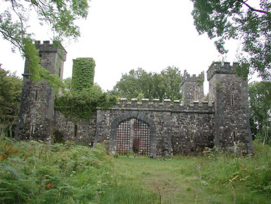 Cloontykilla Castlehunting/fishing lodge · 1492 yd
 Smutternagh WoodWood · 1493 yd
 Errironagh WoodForest · 1.1 mi
 Ash IslandsIslet · 1.1 mi
 Longford HillMountain / peak · 1.9 mi
 Erris BayBay · 2.6 mi
 MoatCastle, motte · 3.8 mi
 Turlough O'CarolanMemorial · 4.1 mi