
What is recorded here
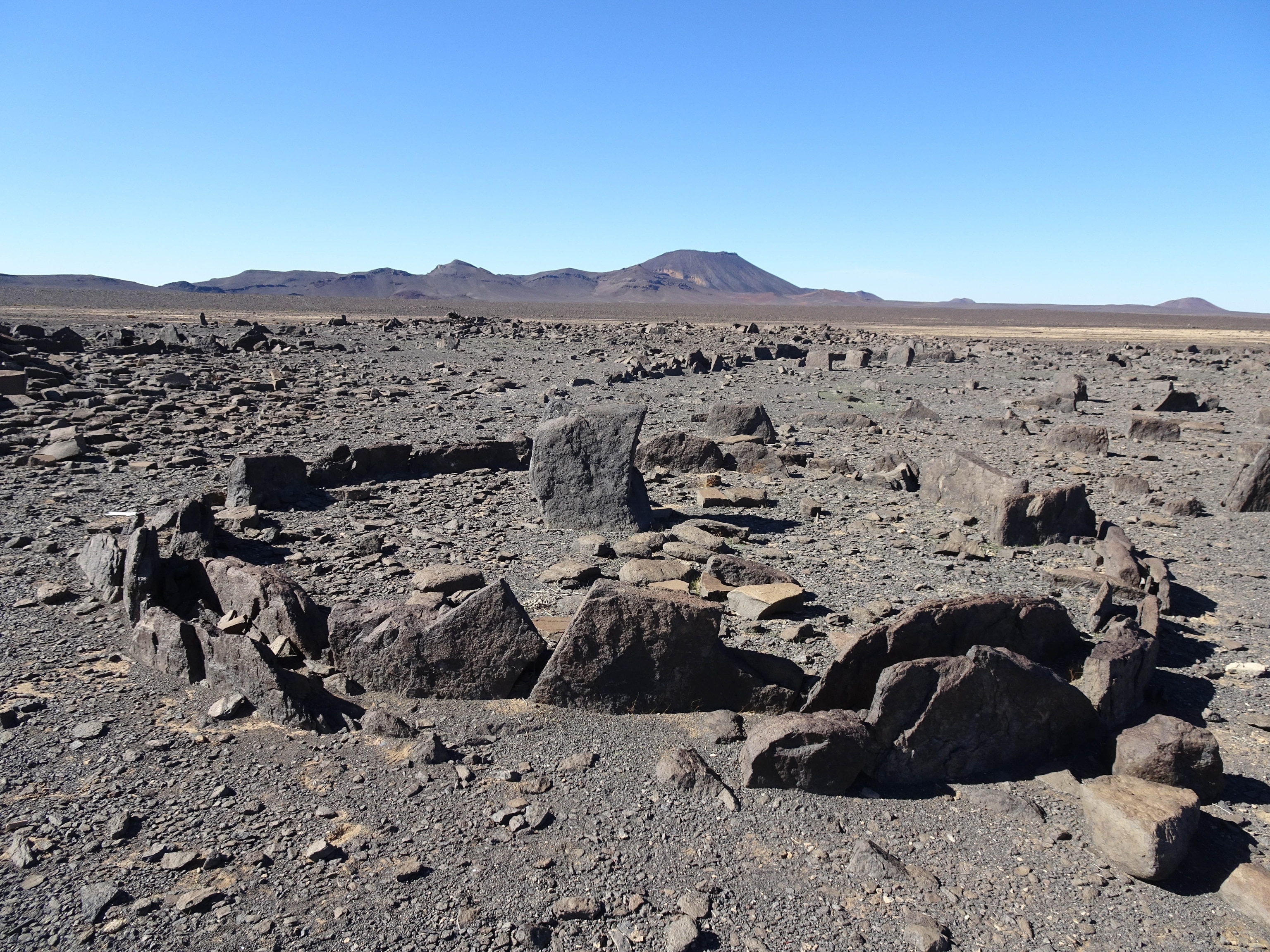
This monument, demolished sometime between 1985 and 1991, stood 1.75km SSE of Site A in Kilmonaster Middle townland. It has been interpreted as a cruciform passage tomb (Ó Nualláin 1983a). Before its destruction there were five set stones and a number of displaced slabs at the site. A terminal chamber at the SW and a…
Read the whole record
From the National Monuments Service (Archaeological Survey of Ireland) record DG079-007
Places near here
Photo credits
- Maker not stated on source page, www.edinburgharchitecture.co.uk
- National Inventory of Architectural Heritage
- Maker not stated on source page, www.pinterest.com
- Castlefinn Community Project; individual photographer not named, castlefinn.ie
- Maker not stated on source page, www.nationalgeographic.com
- Kenneth Allen, Wikimedia Commons · CC BY-SA 2.0
- Maker not stated on source page, uk.pinterest.com
- Kenneth Allen, Geograph · CC BY-SA 2.0
- Maker not stated on source page, commons.wikimedia.org
 Standing Stones (1906).Portal tomb · 433 yd
Explorer Tom Ah, Standing Stones (1906), a name that promises quite a lot more than reality delivered! It’s now just two discarded…
 Gortfad HouseHouse · 715 yd
Explorer Tom Gortfad House has a bird living in its porch who refuses to leave, even though it’s clearly not his house. The…
 Standing stone in TawnacromStanding stone · 1129 yd
Explorer Tom Standing stone in Tawnacrom is officially just a recorded monument right now, with no detailed description yet to back…
 Páirc Eiméid, Robert Emmet's GAAGAA ground · 1177 yd
 Standing stone in CorcullionStanding stone · 1210 yd
Explorer Tom The Standing stone in Corcullion would post on social media saying 'living my best rock life' while staring blankly at…
 Magherareagh Standing StoneStanding stone · 1333 yd
Explorer Tom Magherareagh Standing Stone is leaning so hard to the south-east it looks about to fall over! It’s two point one metres…
 Megalithic tomb in Kilmonaster MiddleMegalithic tomb · 1584 yd
Explorer Tom This megalithic tomb in Kilmonaster Middle vanished before I got here, leaving only a blank spot on the map. Fagan…
 Castlefinn Catholic ChurchChurch/chapel · 1.0 mi
Explorer Tom Castlefinn Catholic Church is a late-twentieth-century showstopper with walls that look almost corrugated. It was built…
 McBride’s BarPub · 1.1 mi
Explorer Tom McBride’s Bar is looking south at Sandy Road, which sounds like a beach but feels like a trap set by gulls. I bet the…
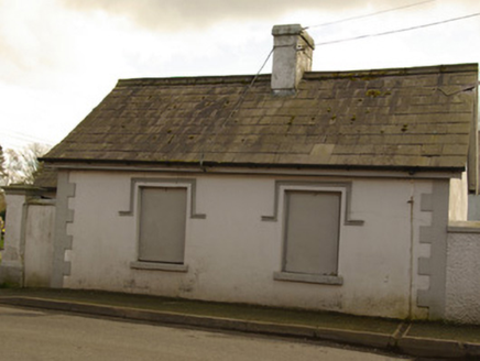 gate lodge, sexton's house1.1 mi
Explorer Tom Gate lodge, Sexton's house in Castlefinn was both a church gate lodge and a sexton's house, built around 1878. Its…
 St. Mary's Catholic ChurchChurch/chapel · 1.1 mi
Explorer Tom St. Mary’s Catholic Church in Castlefinn is taking a well-deserved rest after decades of service, but its Gothic…
 CastlefinnHistoric town · 1.2 mi
Explorer Tom Castlefinn started as thirty houses of English families in 1618, but now it’s a lively market town with a serious…
More archaeology and monuments in County Donegal · All of County Donegal

What do you know about this place?Tap to add a comment or ask a question