What is recorded here
Situated on an E-facing slope. It is described in gothic lettering as a ‘Giant’s Grave’ on the 1834 and 1907 editions of the OS 6-inch map. OS Memoirs describe this as 'large stones standing in the form of a rectangle 7 ft. by 3 and a half ft. (dims c. 2.1m x c. 1.05m). Some of these stones are 3 and a half ft. (c. 1.05m) above the surface of the ground' (RIA Box 49, Ballybay Parish, p.14). No detailed description is known and no archaeological feature is visible at ground level in pasture. Revised by: Michael Moore
Date of revision: 9 May 2018
Situated on an E-facing slope. It is described in gothic lettering as a ‘Giant’s Grave’ on the 1834 and 1907 editions of the OS 6-inch map. OS Memoirs describe this as 'large stones standing in the form of a rectangle 7 ft. by 3 and a half ft. (dims c. 2.1m x c. 1.05m). Some of these stones are 3 and a half ft. (c. 1.05m) above the surface of the ground' (RIA Box 49, Ballybay Parish, p.14). No detailed…
From the National Monuments Service (Archaeological Survey of Ireland) record MO024-001
The monument record does not grant public access. Check the route and ask the landowner before entering private land.
- What survives
- Recorded monument
Places near here
Photo credits
- National Inventory of Architectural Heritage
- Wanfried-Dublin, Wikimedia Commons · CC BY 4.0
- Wanfried-Dublin, Wikimedia Commons · CC BY-SA 4.0
- Oliver Dixon, Geograph · CC BY-SA 2.0
- This file is from the Mechanical Curator collection , a set of over 1 million images scanned from out-of-copyright books and released to Flickr Commons by the British Library. View image on Flickr View all images from book View catalogue entry for book ., Wikimedia Commons · Public domain
- D Gore, Geograph · CC BY-SA 2.0
 mill (water)1202 yd
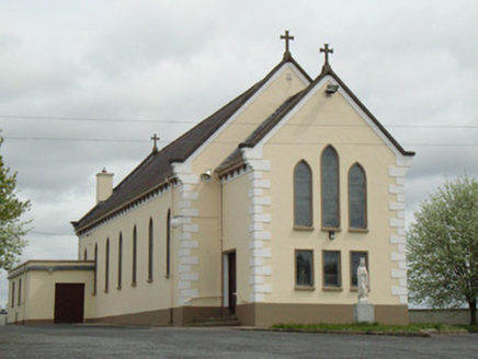 Catholic Church of Our Lady of KnockChurch/chapel · 1.0 miLaragh WoodForest · 1.1 mi
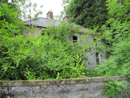 AshgroveHouse · 1.2 mi
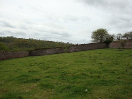 Ballybay HouseWalled garden · 1.3 mi
 Portal tomb in LennanPortal tomb · 3.2 miLough Egish IslandIslet · 3.6 miMonaghan WayWalking route · 4.1 mi
 Wedge tomb in LisnadarraghWedge tomb · 6.6 mi
 Bush IslandIslet · 7.6 mi
 Dartrey ForestForest · 7.9 mi
 Flagpole HillMountain / peak · 8.5 mi
More archaeology and monuments in County Monaghan · All of County Monaghan
What do you know about this place?