What is recorded here
See linked document with details from Ruaidhrí de Valera and Seán Ó Nualláin, Survey of the Megalithic Tombs of Ireland. Volume IV. Counties Cork, Kerry, Limerick, Tipperary. (Dublin: Stationery Office, 1982)
Cuppage (1986, 20-6, no. 25 (a)) records that 'three of the stones of the gallery bear rock art designs.' These designs include a single cup-and-circle, twelve shallow cup-marks, two possible cup-marks and a penannular circle. These are shown in Cuppage (ibid., fig. 13b). The 'Gallaun' indicated on the 1st and 2nd ed. OS 6-inch maps to the SW of this wedge tomb is probably the one that is noted by Cuppage (ibid.) as a 'single outer-wall stone [which] stands at the W end of the S side [of the wedge tomb]'; this is also noted by O'Nuallain (1982, 55, fig. 20).
See linked document with details from Ruaidhrí de Valera and Seán Ó Nualláin, Survey of the Megalithic Tombs of Ireland. Volume IV. Counties Cork, Kerry, Limerick, Tipperary. (Dublin: Stationery Office, 1982)
Date of upload: 6 January 2012
Portal dolmen; dates to the Neolithic period, c. 3500–2500 BCE. This tomb type is significant as it reflects early communal burial practices and megalithic construction in southwest Ireland.
The monument record does not grant public access. Check the route and ask the landowner before entering private land.
- What survives
- Recorded monument
Places near here
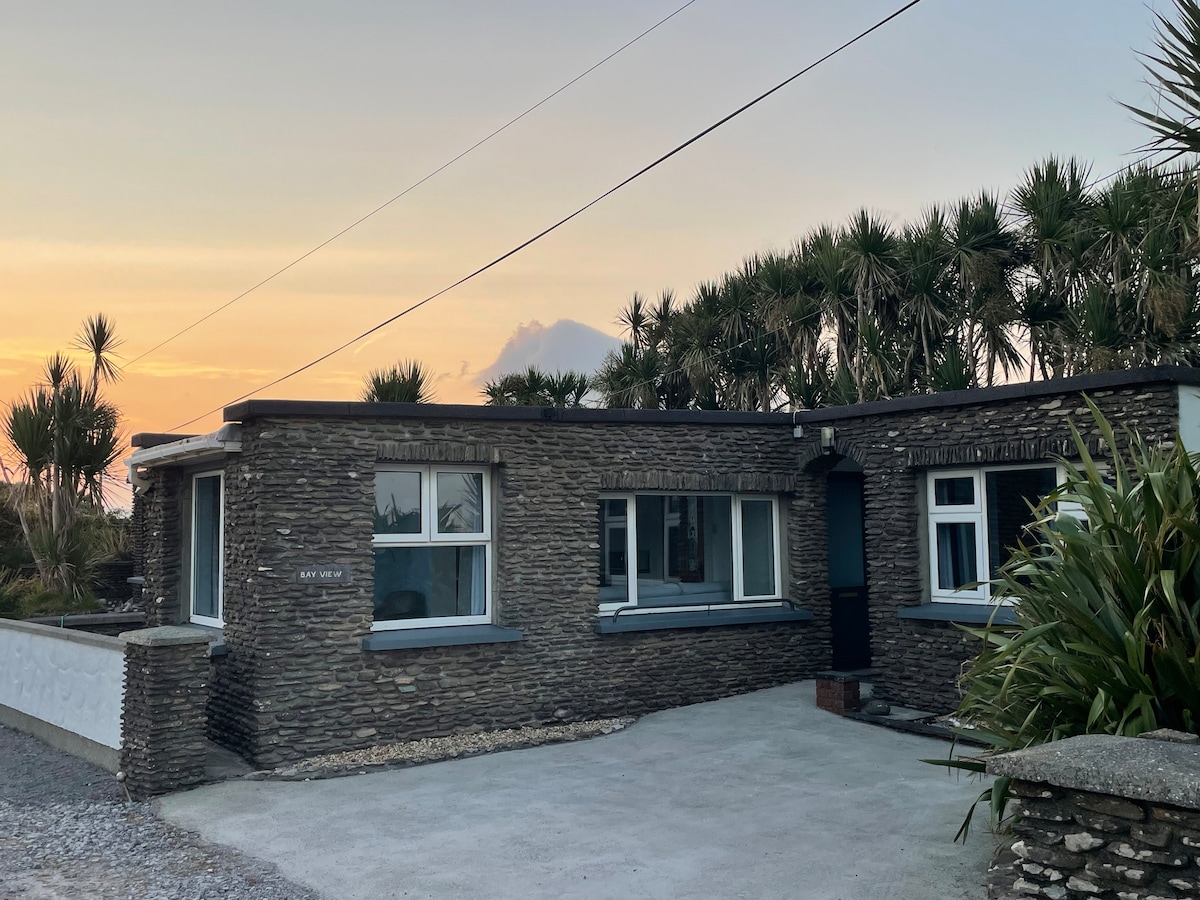 Hut site in Baile Uí UaithnínHut site · 201 yd
 Hut site in An Choill Mhór (bar. Corca Dhuibhne)Hut site · 334 yd
 Sliabh na nGabharMountain / peak · 1646 yd
 Church in Cill An UrdráinChurch · 1647 yd
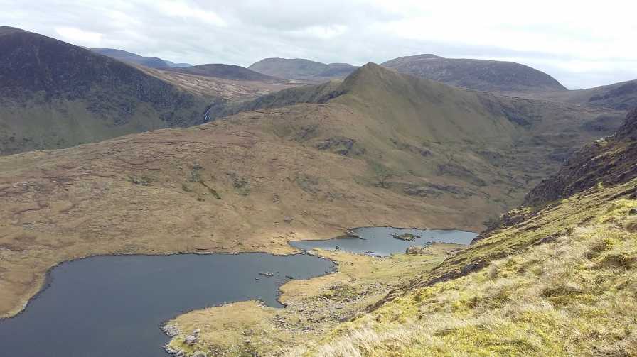 An StarraicínMountain / peak · 1.1 mi
 Séipéal Bhréanainn [Saint Brendan's Catholic Church]church/chapel · 2.2 mi
 Drom BeachBeach / strand · 2.2 mi
 Maughanablagher CliffsCliff · 2.3 mi
 Hillville WoodWood · 2.6 mi
 Site of CastleCastle, unclassified · 2.6 mi
 An ChonairViewpoint · 2.8 mi
 An t'Oileán DubhIslet · 2.9 mi