What is recorded here
Gaybrook Castle stands as ivy-strangled ruins on a low rise above Walderstown, likely the Walterstowne tower house marked on the Down Survey map beside the Athlone to Dublin highway. Robert Dillon held this ruinous castle and thirty gardens in Waterstown alias Ballyvater when his estate was inquired into in 1611. The circular earth and stone enclosure has nearly vanished into the field, leaving only a short north wall and swallowed corner to hint at the fortress that once watched the road.
Poorly preserved ivy covered ruins of Gaybrook Castle situated on a low rise of ground with good views in all directions. This may be the same structure as the tower house type castle of Walterstowne [Baile Bháltair/Walderstown] shown standing on the N side of 'The Highway from Athlone to Dublin' on the Down Survey map of Drumraney parish (NLI MS 723-4). On this map Killinneen Castle (WM023-058----) is shown standing N of the same roadway to the E of Walterstown Castle (ibid.). An inquisition into the estate of Robert Dillon of Cannorstown Castle which was held in 1611 listed as part of his possessions in the townland of 'Waterstown alias Ballyvater', 1 ruinous castle, 30 messuages and 30 gardens' (Cal. inq. post mortem, 5 Jac. 1).
Structure covered in vegetation making detailed examination of the upstanding fabric impossible. No surface remains visible of enclosure surrounding the ruins which was described in 1978. Monument described in 1971 as the remains of a rectangular structure defined by a portion of the N wall and the SW corner. The short portion of N wall (approx. L 5m; H 1.75m-2m) is joined to the SW corner by a more modern drystone wall. All of the facing stones on the inner and some on the outer façade have been removed and there are no dressed stone visible. The castle is set into the E side of a circular enclosure which is outlined on NE, N & W by remains of an earth and stone bank set on a steep scarp. The scarp has the remains of stone facing in several places. On S & SW the enclosure is bounded by a slight natural rise. Today only the faintest suggestion of this enclosure is visible in the field in which the castle stands. Old field banks which were visible running from the perimeter of the site on the SW side are no longer visible.
Compiled by: Caimin O'Brien
Date of upload: 02 May 2019
Walter de Lacy is believed to have built Gaybrook Castle in the late 12th or early 13th century as part of the Anglo-Norman expansion in Ireland. It is remembered for its strategic location and as an example of early medieval tower house architecture in the region.
The monument record does not grant public access. Check the route and ask the landowner before entering private land.
- What survives
- Recorded monument
Places near here
 IndicatedFairy fort / earthen ringfort · 431 yd
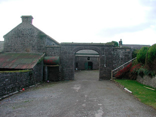 Dorrington Housefarmyard complex · 586 yd
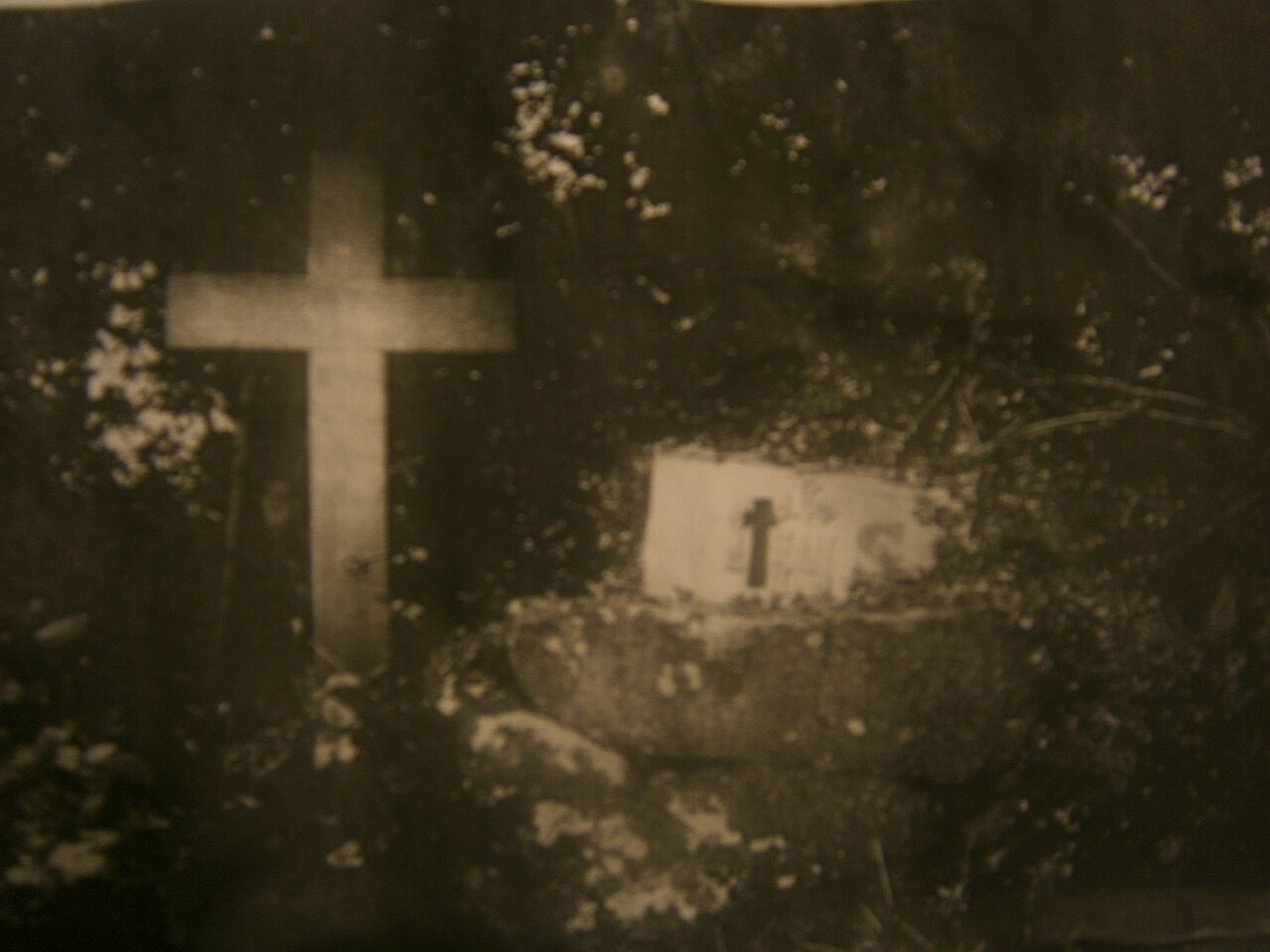 Mass-rock in KillininneenMass-rock · 904 yd
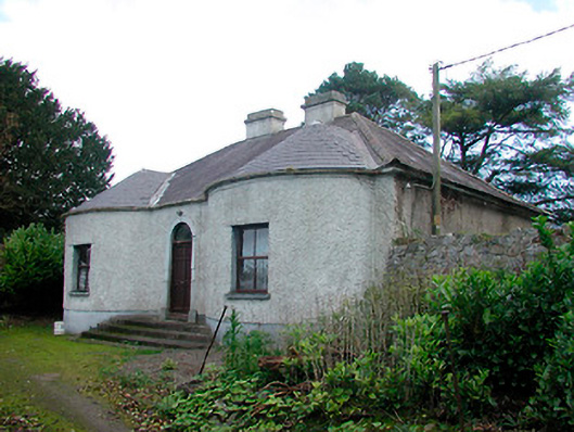 Walderstown Lodgehouse · 983 yd
 Ardnagragh CastleCastle, tower house · 1.1 mi
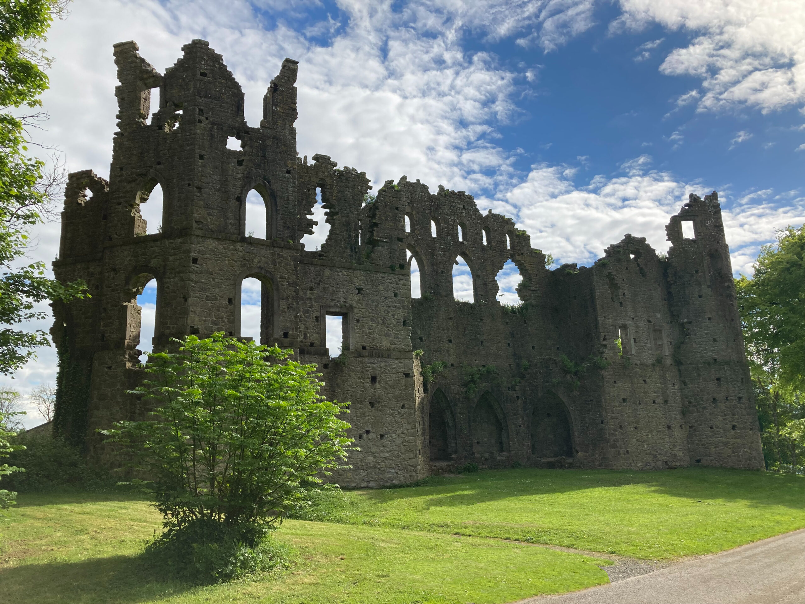 Sterns Folly, The BreenCastle, ringwork · 1.3 mi
 Temple's IslandIslet · 3.9 mi
 Killinure BayBay · 3.9 mi
 Noughaval CemeteryArchaeological place · 4.0 mi
 Traveen BayBay · 4.8 mi
 Dún na Sí Heritage CentreMuseum · 5.1 mi