What is recorded here
The Gates in Aghnagore have grand carved piers flanked by rough little farm walls, and this is only the back entrance. The piers are receiving distinguished guests; the walls are asking whether any of them brought back the trailer.
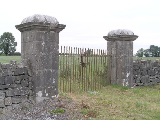
Gateway, erected c. 1830, comprising a pair of cut limestone gate piers (on square-plan) having moulded limestone capstones with cornice detail and with wrought-iron double-leaf vehicular gates. Roughly dressed limestone boundary walls to either side (east and west) having rubble limestone crenellations over. Located adjacent to main road to the east of Cloondara. Forms rear entrance to two-storey house to the north (13307023).
These walls and the fine gateway add interest to the roadscape. The contrast between the roughly dressed finish of the walls and the carefully cut and carved gate piers is attractive. While the walls are typical of modest farm holdings in their lack of height and their modest functional appearance, the entrance piers show skilled design and execution, and are more typical of a gentleman farmer's residence or country house. Although only very roughly dressed, the lack of visible mortar joints gives the walls a neat finish. This gateway forms the rear entrance to a two-storey house (13307023) to the north (Ordnance Survey third edition six-inch map 1914). However, the gateway predates the present house and may have been associated with an earlier house here or, perhaps, moved to its present site from another location (on Ordnance Survey first edition six-inch map 1837).
From the Buildings of Ireland (National Inventory of Architectural Heritage) record 13307022
This does not grant access. Most recorded buildings are privately owned; view them only from public ground unless the owner allows entry.
Places near here
Photo credits
- National Inventory of Architectural Heritage
- 瑞丽江的河水, Wikimedia Commons · CC BY-SA 4.0
- Mike Searle, Geograph · CC BY-SA 2.0
- Kieran Campbell, Geograph · CC BY-SA 2.0
- Alvesgaspar, Wikimedia Commons · CC BY-SA 3.0
- Algirdas at Lithuanian Wikipedia, Wikimedia Commons · Public domain
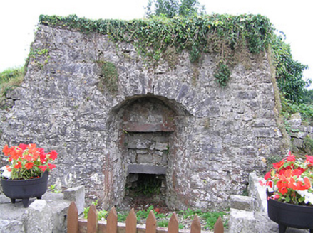 kiln163 yd
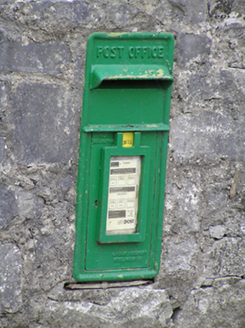 post box419 yd
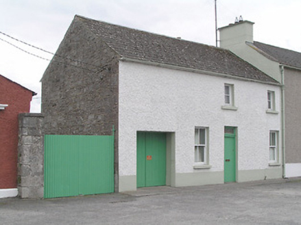 office468 yd
 office469 ydStructureStructure, peatland · 1259 ydStructureStructure, peatland · 1278 yd
 First World War MemorialMemorial · 4.1 mi
 Saint Mel's CathedralCathedral · 4.2 mi
 Rathcline CastleHouse, fortified house · 6.8 mi
 Rathcline CastleBawn · 6.8 mi
 Common Lime8.8 mi
 Pedunculate Oak8.9 mi
More historic places in County Longford · All of County Longford
What do you know about this place?