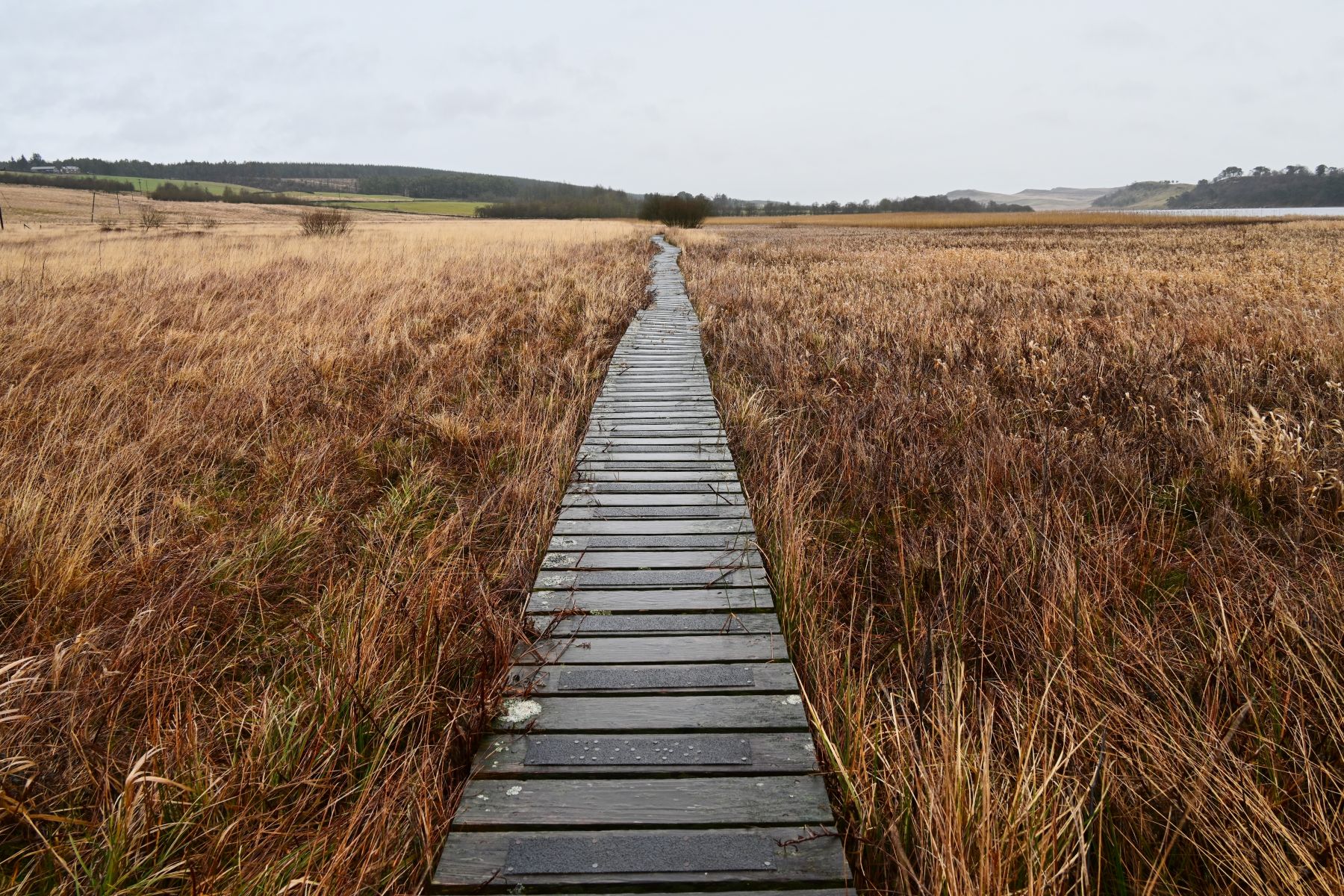
What is recorded here
Worked wood noted during field survey in 1989 (pers. comm. B. Raftery). The evidence is insufficient to warrant acceptance as the remains of an archaeological monument.
Compiled by: Mary Tunney based on data supplied by the former Irish Archaeological Wetland Unit, University College, Dublin.
Date of upload: 26 August 2011
The monument record does not grant public access. Check the route and ask the landowner before entering private land.
- What survives
- Recorded monument
Places near here
 RoadRoad, class 3 togher · 186 yd
 45th Locklock · 894 yd
 PlatformPlatform, peatland · 1.2 mi
 Ardneevs WellHoly well · 1.6 mi
 Graveyard in Curry (ardagh By., Coolamber Ed)Graveyard · 3.7 mi
 Bawn in AbbeycartronBawn · 3.9 mi
 First World War MemorialMemorial · 4.0 mi
 Saint Mel's CathedralCathedral · 4.1 mi
 Commons North WalkVisitor information · 5.2 mi
 Wild birdsVisitor information · 5.4 mi
 White Sand WoodWood · 5.9 mi
 Ballyclare IslandIslet · 5.9 mi
Other information
Photo: Credit not shown in the picture search · Rights wording not checked; contact us if this picture should be removed