DDiscover AloneMapAbout

Gaol

Bastioned fort

What is recorded here

Situated on relatively high ground to the NW of Monaghan town. There was a small settlement at Monaghan in 1589-91 when the lord deputy, Sir William FitzWilliam, took advantage of a Mac Mahon dispute to establish a garrison here at the friary (MO009-060002-). The garrison was probably abandoned after the battle of…

Read the whole record
Situated on relatively high ground to the NW of Monaghan town. There was a small settlement at Monaghan in 1589-91 when the lord deputy, Sir William FitzWilliam, took advantage of a Mac Mahon dispute to establish a garrison here at the friary (MO009-060002-). The garrison was probably abandoned after the battle of Clontibret in 1595 but it was re-established by John Berkley in 1602 (Livingstone 1982, 90-4). In 1604 Sir Edward Blayney was appointed seneschal or governor of the county and the garrison, and two years later he received extensive lands around the town and around what would become Castleblayney (Duffy 1981. 14, fig. 5). He commenced to build a house (MO009-060003-) for himself at Monaghan. In 1606 Sir John Davies, the attorney general, described the town as ‘…consisting of divers scattered cabins or cottages, whereof the most part was possessed by the cast soldiers of that garrison. In the northmost part thereof there is a little fort, which is kept by the foot company of Sir Edward Blayney, who is seneschal or governor of the county by patent’. A map of Richard Bartlett of c. 1602-03 shows the town as a fortified enclosure with fourteen thatched houses and eight bastions. This is a fanciful idealised fortified town, which did not exist at Monaghan then, but the plan does show the ruins of the friary (MO009-060002-) in the foreground and this fort that was mentioned by Davies in the background. Hayes-McCoy (1960, 16) suggests that this fort was built in 1602. Locally it was thought to have been where a new jail had been built in 1824 and the County Hospital is now. The last remnant of it was a tree-covered mound recorded by Coote (1801, 171) and in 1835 in the Ordinance Survey Letters (Herity 2012, 176). This is followed by Lewis (1837, 2, 384) with the additional information that silver coins had been found here including one of Henry VIII and another of James I. The above description is derived from the published 'Archaeological Inventory of County Monaghan' (Dublin: Stationery Office, 1986). See the attached view of Monaghan town by Bartlett (c. 1602) with the fort in the background.

From the National Monuments Service (Archaeological Survey of Ireland) record MO009-060007

The monument record does not grant public access. Check the route and ask the landowner before entering private land.

What do you know about this place?Tap to add a comment or ask a question

What you write will be public.

Places near here

Photo credits
  • National Inventory of Architectural Heritage
  • Kenneth Allen, Geograph · CC BY-SA 2.0
  • Kenneth Allen, Geograph · Creative Commons Attribution-ShareAlike 2.0
  • Raymond Okonski, Wikimedia Commons · CC BY-SA 2.0
  • Andreas F. Borchert, Wikimedia Commons · CC BY-SA 3.0 de
  • Brian Lenehan, Geograph · CC BY-SA 2.0
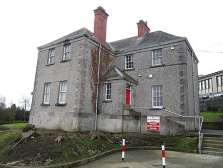
Monaghan County HospitalHouse · 62 yd

Explorer Tom Monaghan County Hospital in Mullaghmonaghan confuses Vikings who are always getting lost looking for it because of its…
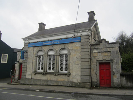
bank/financial institution131 yd

Explorer Tom Mullaghmonaghan Bank had a cow try to buy the whole place with a single carrot once. The teller said no, so the cow is…

Laurel LodgeHouse · 178 yd

Explorer Tom Laurel Lodge would win a county fair for having the most dramatic steps in County Monaghan. It’s got a castellated…

Holly LodgeGates/railings/walls · 191 yd

Explorer Tom Holly Lodge in Mullaghmonaghan has gates so fancy they suspect the postman is stealing their identity. The ironwork is…

Aviemore HouseHouse · 192 yd

Explorer Tom Aviemore House is complaining to the council that its railings are too shiny for the neighbourhood’s rustic vibe. It…
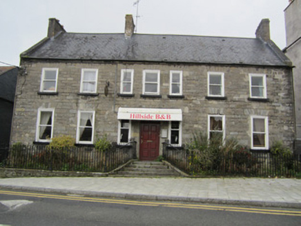
Hillside HouseHouse · 211 yd

Explorer Tom Hillside House in Mullaghmonaghan is squat and wide, looking like it’s been doing squats against the street for…

Monaghan Model National SchoolSchool · 219 yd

Explorer Tom Monaghan Model National School hears children arguing through its walls even though it’s been empty for decades. The…
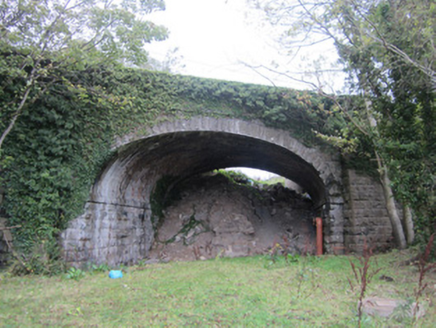
Milltown BridgeBridge · 232 yd

Explorer Tom Milltown Bridge is strutting across the water like it invented the bendy road. Locals swear if you step on it wrong…

Allied Irish BankBank/financial institution · 364 yd

Explorer Tom Allied Irish Bank in Roosky is trying way too hard to look prestigious with all those pilasters and dentils plastered…

Rossmore MonumentMemorial · 409 yd

Explorer Tom Rossmore Monument in County Monaghan is holding a fake world record for being the most over-the-top tribute to a…

Monaghan County MuseumMuseum · 571 yd

Explorer Tom Monaghan County Museum has brought thousands of objects into the town's Peace Campus, where border stories belong to…

Old Cross SquareMonument · 671 yd

Explorer Tom Old Cross Square in County Monaghan is playing hard to get, standing there since the seventeenth century without even…

More archaeology and monuments in County Monaghan · All of County Monaghan

Add to this placeAdd a picture Add a detailed tip Add a story

Explore the map1,095,414 places to discover

Next place · or swipeMonaghan County Hospital