What is recorded here
Gallaun stands 3.43 metres tall inside Cromwell's Fort on the Iveragh Peninsula, proving the earthwork arrived millennia after the stone. A loose slab now braces its south-eastern face, perhaps added after Chatterton shook it in 1839, while packing stones still grip its trapezoidal base. The fort either claimed the ancient marker or ignored it, forcing both histories to share one narrow strip of rough grazing above the sea.
In rough grazing overlooking sea to S. Two stones indicated here on OS 6-inch map (1842). Rectangular stone aligned NE-SW (H 2.5m; 1.04m x 0.5m).
The above description is derived from the published 'Archaeological Inventory of County Cork. Volume 1: West Cork' (Dublin: Stationery Office, 1992). In certain instances the entries have been revised and updated in the light of recent research.
Date of upload/revision: 14 January 2009
The monument record does not grant public access. Check the route and ask the landowner before entering private land.
- What survives
- Recorded monument
Places near here
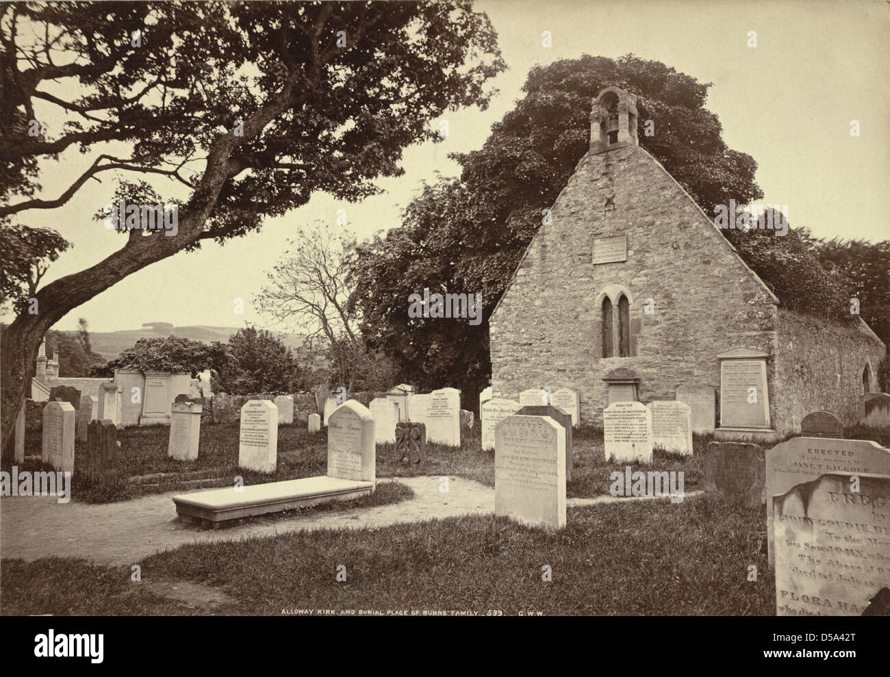 Childrens Burial Gd (Disused)Burial ground · 1504 yd
 Man-made underground passage in DunbeaconMan-made underground passage · 1.0 mi
 Rossmore Lodgehouse · 1.1 mi
 Dunbeacon Castle (in Ruins)Castle, tower house · 1.3 mi
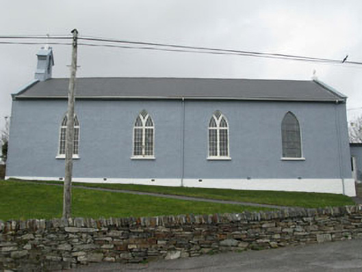 St. Patrick's Roman Catholic Churchchurch/chapel · 1.4 mi
 Mannion's Island (Large)Islet · 1.5 mi
 Rossmore Castle (in Ruins)Castle, tower house · 1.5 mi
 Mannion's Island (Small)Islet · 1.6 mi
 Air India Flight 182 Crash MemorialMemorial · 1.6 mi
 Glanlough LoopWalking route · 1.7 mi
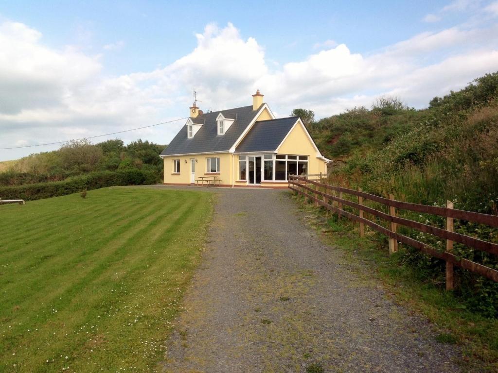 GouladaneMountain / peak · 2.0 mi
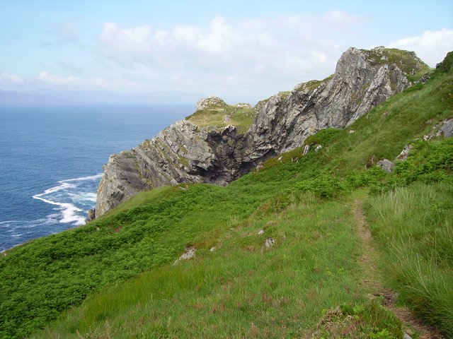 Sheep's Head WayWalking route · 2.1 mi