
What is recorded here
Coolnalong Castle stands as a two-storey fortified ruin on the northern shore of Dunmanus Bay, built probably in the early decades of the 17th century by the MacCarthy Muclaghs. Its U-shaped plan projects arms from either end of the main block, creating a defensive embrace against the sea and the overlooked land beyond. The structure later became a farmbuilding and dwelling for Durrus Court, transforming its martial bones into domestic utility while preserving original fireplaces and gun loops. This shift from castle to home reveals how martial architecture adapts to civilian life, maintaining its shape while surrendering its defensive purpose.
Two-storey house with attic, on ground sloping gently up from N shore of Dunmanus Bay; overlooked from N. Building of U-plan; main block (17.6m NW-SE; 7.8m SW-NE) with arms projecting from NW (6.5m SW-SE; 5.5m NW-SE) and SE (6.3m SW-NE; 5.6m NW-SE) ends of NE wall. All walls stand to full height except SW of which only ground floor stands. Original gables survive atop centre of NE wall, NW and SE ends of main block; at NE ends of both arms. Plain masonry stack atop gable at NE; main SE stack ivy-clad; remaining three stacks are more elaborate with oversailing caps. Machicolations on side walls of projecting arms poorly preserved; tapering masonry corbels with intervening lintels survive. House adapted as farmbuilding and dwelling for nearby Durrus Court; all window and door opes adapted for wooden frames. Inserted elliptical archway in NW wall gaveaccess to lean-to built inside house (some support walling survives); NW arm converted into dwelling with inserted dividing wall from main block. Original fireplace with bread oven at ground floor in SE wall; gun loop in SW wall beside fireplace. House built by MacCarthy Muclaghs, minor sub-sept of MacCarthy Riabhach (O'Donoghue 1986, 58) probably in early decades 17th century.
The above description is derived from the published 'Archaeological Inventory of County Cork. Volume 1: West Cork' (Dublin: Stationery Office, 1992). In certain instances the entries have been revised and updated in the light of recent research.
Date of upload/revision: 14 January 2009
This monument is subject to a preservation order made under the National Monuments Acts 1930 to 2014 (PO no. 221/1955).
The monument record does not grant public access. Check the route and ask the landowner before entering private land.
- What survives
- Recorded monument
Places near here
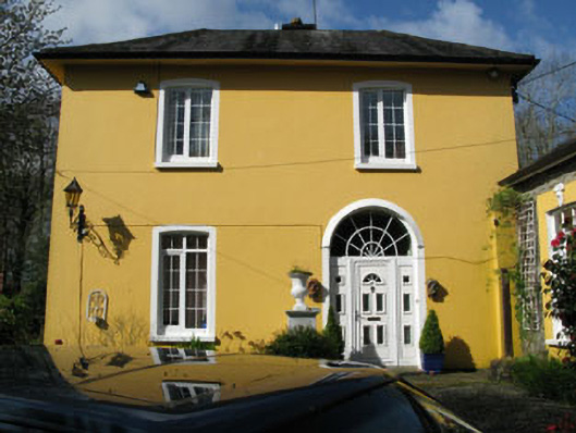 rectory/glebe/vicarage/curate's houserectory/glebe/vicarage/curate's house · 766 yd
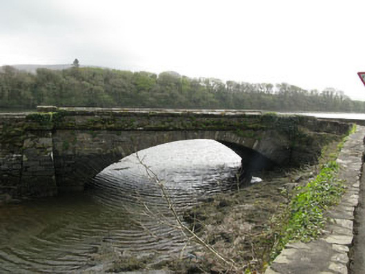 bridgebridge · 910 yd
 Burial Ground (Disused)Burial ground · 1122 yd
 Mannion's Island (Small)Islet · 1388 yd
 Rossmore Castle (in Ruins)Castle, tower house · 1413 yd
 Gearhmeen FortArchaeological place · 1561 yd
 Mannion's Island (Large)Islet · 1702 yd
 Coomkeen Loop WalkWalking route · 1.6 mi
 Durrus CheeseHeritage attraction · 1.8 mi
 KilbreaghMountain / peak · 1.9 mi
 Mount CorrinMountain / peak · 2.1 mi
 League PointHeadland · 2.4 mi
Other information
Photo: Credit not shown in the picture search · Rights wording not checked; contact us if this picture should be removed