What is recorded here
No visible chamber, no carved marks, no aligned sightline. The stone stands alone on the hill, unremarkable except for its height. That is what makes it memorable. It refuses explanation.
In pasture on S-facing slope. Rectangular stone aligned N-S (H 1.96m; 1.17m x 0.58m).
The above description is derived from the published 'Archaeological Inventory of County Cork. Volume 1: West Cork' (Dublin: Stationery Office, 1992). In certain instances the entries have been revised and updated in the light of recent research.
Date of upload/revision: 14 January 2009
The monument record does not grant public access. Check the route and ask the landowner before entering private land.
- What survives
- Recorded monument
Places near here
 garda station/constabulary barracksgarda station/constabulary barracks · 1235 yd
 Wedge tomb in BofickilWedge tomb · 1280 yd
 IndicatedBooley hut · 1296 yd
 Wild Atlantic WayVisitor information · 1517 yd
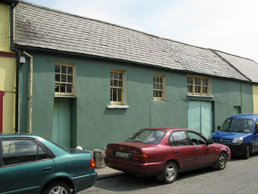 workshopworkshop · 1531 yd
 Eyeries - Creha Quay LoopWalking route · 1.2 mi
 Eyeries - Coastguard Station LoopWalking route · 1.2 mi
 CarrigleamoreIslet · 1.4 mi
 Pallas StrandBeach / strand · 1.5 mi
 The BullIslet · 1.6 mi
 Eagle HillMountain / peak · 1.7 mi
 Miskish MountainMountain / peak · 2.0 mi