What is recorded here
Standing stone described by Cuppage (1986, 24, no. 25 (c) ) as 'A thin, gable-shaped slab inclined slightly to SE. It stands 2.2m high above the peat and measures 2.54m in width and 0.42m in thickness at base; NE-SW'.
Likely dating to the Bronze Age, the Gallaun stone may have functioned as a territorial marker or ceremonial monument. No specific folklore or inscriptions are recorded, though its orientation and form suggest possible ritual or astronomical significance.
The monument record does not grant public access. Check the route and ask the landowner before entering private land.
- What survives
- Recorded monument
Places near here
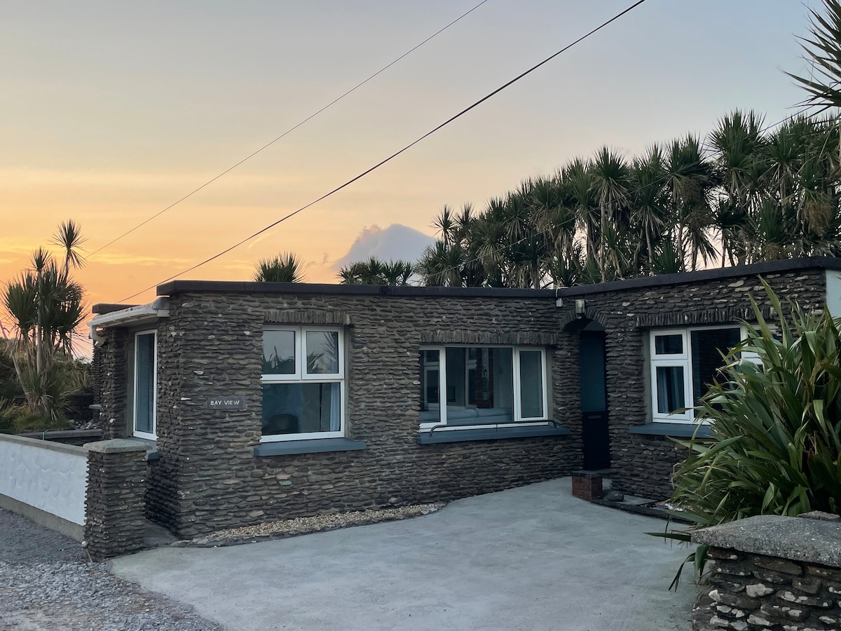 Hut site in Baile Uí UaithnínHut site · 336 yd
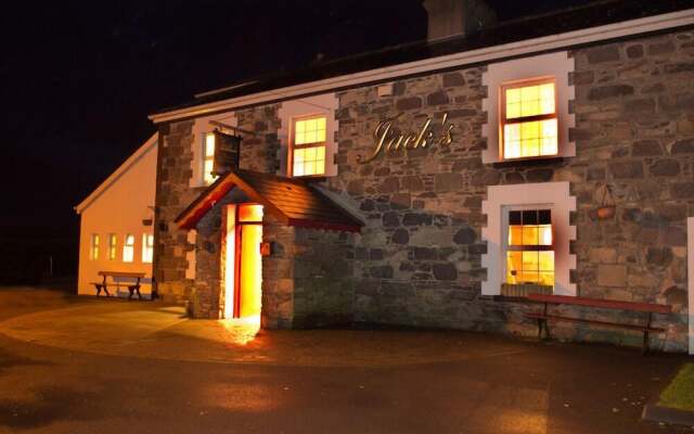 Hut site in An Choill Mhór (bar. Corca Dhuibhne)Hut site · 361 yd
 Church in Cill An UrdráinChurch · 1515 yd
 Sliabh na nGabharMountain / peak · 1745 yd
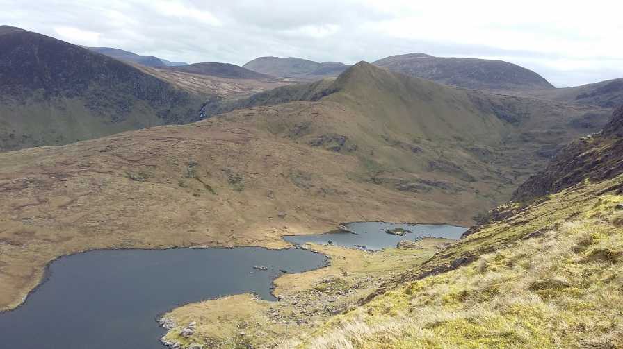 An StarraicínMountain / peak · 1.2 mi
 Séipéal Bhréanainn [Saint Brendan's Catholic Church]church/chapel · 2.1 mi
 Drom BeachBeach / strand · 2.1 mi
 Maughanablagher CliffsCliff · 2.3 mi
 Site of CastleCastle, unclassified · 2.6 mi
 Hillville WoodWood · 2.6 mi
 An t'Oileán DubhIslet · 2.8 mi
 An ChonairViewpoint · 2.8 mi