What is recorded here
Marked 'Gallan' only on the latest ed. of the OS 6-inch map. Situated in a hollow between rock outcrop areas to the W and E, it is not visible at ground level.
The above description is derived from the published 'Archaeological Inventory of County Waterford' (Dublin: Stationery Office, 1999). In certain instances the entries have been revised and updated in the light of recent research.
Compiled by: Michael Moore
Date of upload/revision: 27 May 2011
Likely dating to the Neolithic or Bronze Age, this standing stone may have functioned as a boundary marker or ceremonial feature. The name "Gallan" may derive from a Gaelic term, though its specific meaning or folklore remains unrecorded.
The monument record does not grant public access. Check the route and ask the landowner before entering private land.
- What survives
- Recorded monument
Places near here
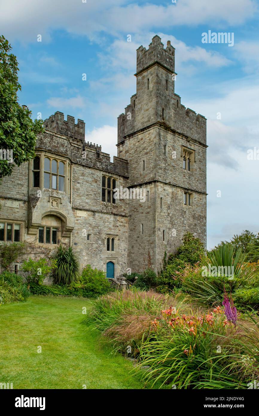 Embanked enclosureEnclosure · 498 yd
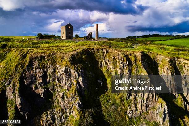 Mine in MonvoyMine · 548 yd
 Burnt spread in MonloumBurnt spread · 1318 yd
 Cullen Castle (in ruins)Castle, tower house · 1319 yd
 IndicatedRoad, road/trackway · 1402 yd
 Tramore Tourist OfficeVisitor information · 1.4 mi
 Tourist InformationVisitor information · 1.5 mi
 Doneraile WalkWalking route · 1.6 mi
 Cannon GunBattlefield · 1.6 mi
 Tramore Dunes WalkWalking route · 2.0 mi
 Sugar Loaf RockMountain / peak · 2.2 mi