What is recorded here
Situated on a W-facing slope, and now within the suburbs of Tramore. Archaeological testing (Excavation Licence 00E0735) uncovered a mound (diam. c. 10m) of broken and fire-cracked stones. (Ryan 2002)
Ryan, F. (2002) Mounloun and Corbally Upper. Burnt stone spread. In I. Bennett (Ed.) Excavations 2000: summary accounts of excavations in Ireland, 339, No. 998.
From the National Monuments Service (Archaeological Survey of Ireland) record WA026-082
The monument record does not grant public access. Check the route and ask the landowner before entering private land.
- What survives
- Recorded monument
Places near here
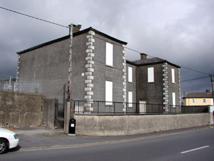 Saint Otteran's Christian SchoolsSchool · 600 yd
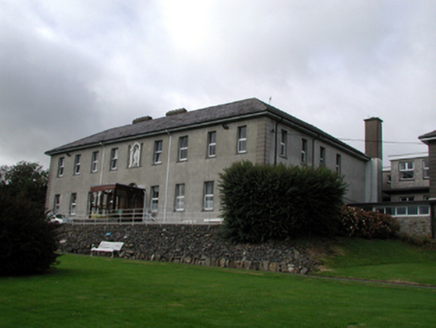 Convent of the Star of the SeaConvent/nunnery · 613 yd
 Doneraile WalkWalking route · 1725 yd
 Tramore StrandBeach / strand · 1.9 mi
 Newtown CoveBeach / strand · 1.9 mi
 The Metal ManHeritage attraction · 2.4 mi
 Fenor BogNature reserve · 3.0 mi
 Matthewstown Passage TombArchaeological place · 3.1 mi
 Gaulstown Portal TombArchaeological place · 3.4 mi
 Kilfarrasy BeachBeach / strand · 4.1 mi
 Castle (in ruins)Castle, tower house · 4.6 mi
 Dunhill CastleCastle · 4.6 mi
Pictures: National Inventory of Architectural Heritage; Paul O'Farrell, Geograph · CC BY-SA 2.0; Tmimagery, Wikimedia Commons · CC BY-SA 4.0; Brendan Tobin, Wikimedia Commons · CC BY-SA 4.0; Kieran Campbell, Wikimedia Commons · CC BY-SA 2.0; RTG, Wikimedia Commons · CC BY-SA 4.0; P L Chadwick, Geograph · CC BY-SA 2.0; John M, Geograph · CC BY-SA 2.0; Philip Halling, Wikimedia Commons · CC BY-SA 2.0
More archaeology and monuments in County Waterford · All of County Waterford
What do you know about this place?