What is recorded here
Gallan is a rectangular standing stone in County Cork, Ireland, rising 1.3 metres above pasture with packing stones still visible at its base. Aligned northeast to southwest, it commands sweeping views toward the southwest, suggesting whoever set it chose visibility and direction as much as memory. The stone may have marked a boundary, a burial, a meeting place or a warning, yet it still points across the landscape like a finger preserved in grass.
In pasture with commanding views to SW. Rectangular stone aligned NE-SW (H 1.3m; 0.58m x 0.4m). Some packing stones visible around base.
The above description is derived from the published 'Archaeological Inventory of County Cork. Volume 1: West Cork' (Dublin: Stationery Office, 1992). In certain instances the entries have been revised and updated in the light of recent research.
Date of upload/revision: 14 January 2009
Likely dating to the Neolithic or Early Bronze Age, this standing stone may have had ritual or territorial significance, possibly aligned with solar or landscape features. Local folklore or specific use is not recorded.
The monument record does not grant public access. Check the route and ask the landowner before entering private land.
- What survives
- Recorded monument
Places near here
 Hut site in Garranes NorthHut site · 860 yd
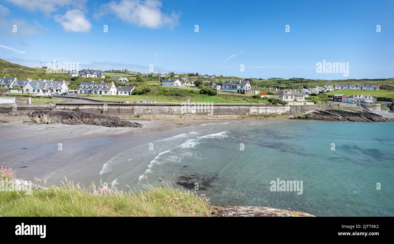 Fulacht fia in CeanculligFulacht fia · 980 yd
 Castle Donovan (in Ruins)Castle, tower house · 1183 yd
 Castle DonovanCastle · 1186 yd
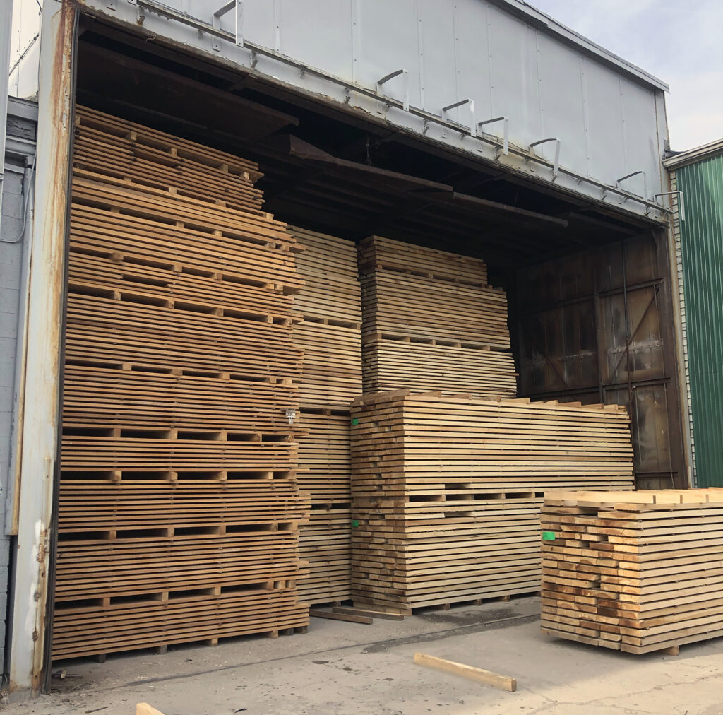 KilnKiln, corn-drying · 1230 yd
 Delish Cascade WalkWalking route · 1645 yd
 Nowen Hill SW TopMountain / peak · 1.4 mi
 Drimoleague Heritage Loop WalkWalking route · 2.0 mi
 Nowen HillMountain / peak · 2.2 mi
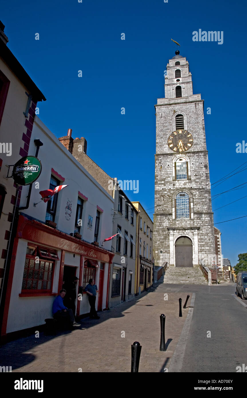 Church (in Ruins)Church · 2.2 mi
 Francis O'Neill PlaqueMemorial · 4.7 mi
 Kealkill stone circleVisitor information · 5.6 mi