
What is recorded here
From the National Monuments Service (Archaeological Survey of Ireland) record CO106-061
Places near here
Photo credits
- Maker not stated on source page, www.alamy.com
- Picture: Heritage Ireland / Office of Public Works
- Ernest Riordan, Geograph · CC BY-SA 2.0
- Graham Horn, Geograph · CC BY-SA 2.0
- Mike Searle, Wikimedia Commons · CC BY-SA 2.0
- Jane Carver, Wikimedia Commons · CC BY-SA 2.0
- Maker not stated on source page, commons.wikimedia.org
- John M, Geograph · CC BY-SA 2.0
- National Inventory of Architectural Heritage
- Echo Live; individual photographer not stated on accessible page (article by John Bohane), www.echolive.ie
- Adriaen van Diest, Wikimedia Commons · Public domain
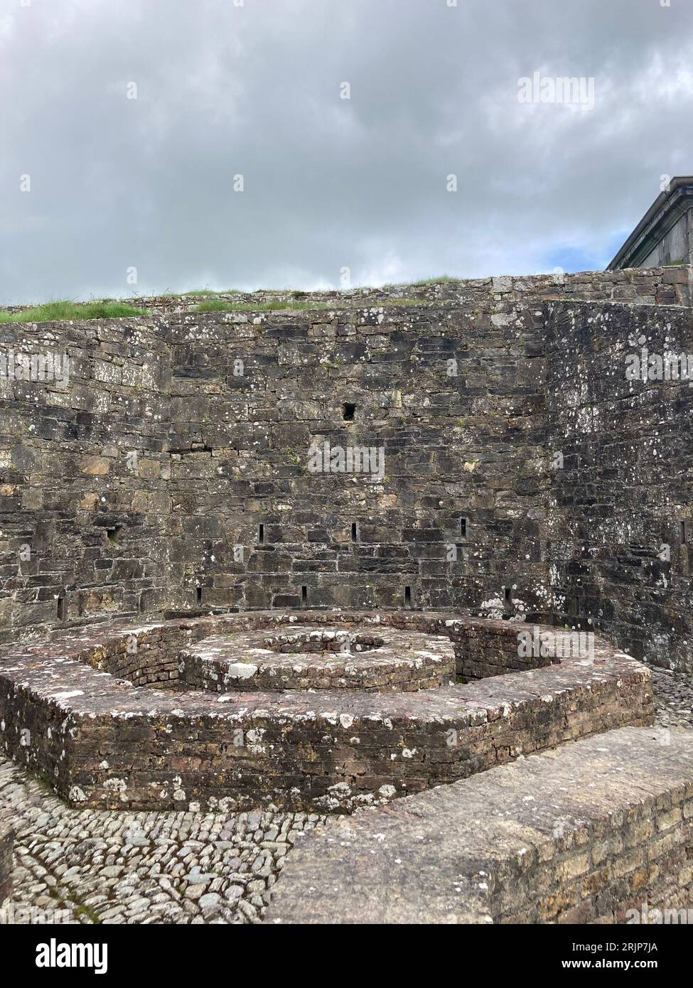 Fairy fort / earthen ringfort in CeanculligFairy fort / earthen ringfort · 1452 yd
Explorer Tom Fairy fort in Ceancullig has a local who claims he invented it himself after eating too many mushrooms one summer…
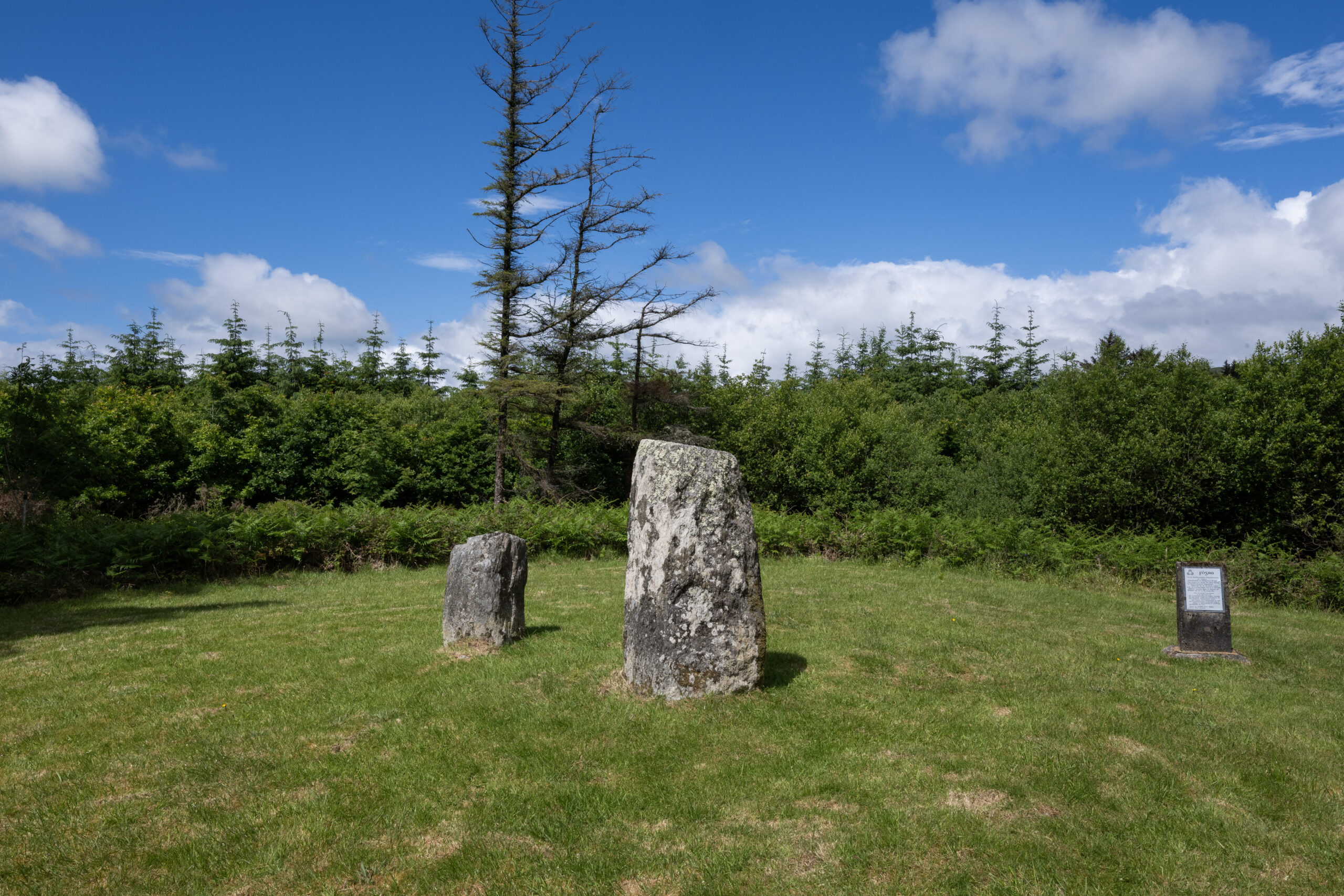 Clodagh Standing StonesArchaeological place · 1.2 mi
Explorer Tom Clodagh Standing Stones rise beside a County Cork road near Pookeen, one tall stone and one shorter companion refusing…
 Nowen Hill sw TopMountain / peak · 1.2 mi
Explorer Tom Nowen Hill sw Top is having a bit of a tantrum about its name sounding like a sneeze. It claims to be teaching history…
 Castle Donovan (in Ruins)Castle, tower house · 1.4 mi
Explorer Tom Castle Donovan in Castledonovan, County Cork is showing off its full height, despite losing a corner like it was…
 Castle DonovanCastle · 1.4 mi
Explorer Tom Castle Donovan did not always answer to that name. The O'Donovans knew their sixteenth-century tower as Sowagh, a much…
 Nowen HillMountain / peak · 1.7 mi
Explorer Tom Nowen Hill stands above Dunmanway in West Cork as if watching you climb from below. It is the district's high point…
 Tadhg Mac Carthaigh GAA pitchGAA ground · 4.9 mi
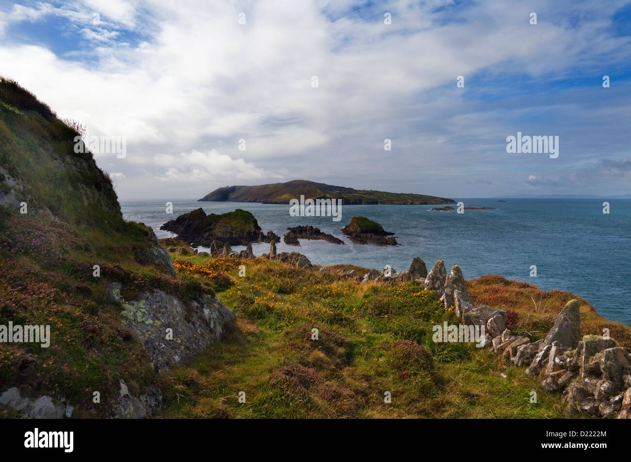 Sheelane IslandIslet · 15 mi
Explorer Tom Sheelane Island has an imaginary fan club that meets on Tuesdays but nobody shows up because they are shy rocks. Pack a…
 Garinish WestIslet · 15 mi
Explorer Tom Garinish West was once offered to a cow who wanted to buy it with a very shiny hoof, but the paperwork got lost in a…
 house15 mi
Explorer Tom House in Derreenacarrin was built by the government to save us poor folk, and it’s still standing there looking smug…
 Adrigole GAA pitchGAA ground · 20 mi
 Battle of Bantry BayMajor battlefield · 20 mi
Explorer Tom Battle of Bantry Bay in County Cork is where a French admiral got his arse kicked by the weather before he even saw an…
More archaeology and monuments in County Cork · All of County Cork

What do you know about this place?Tap to add a comment or ask a question