What is recorded here
Gallan stands in a West Cork pasture, leaning slightly north of east and south of west like a person caught mid-sentence. It rises just over a metre above the grass, broad enough to shadow a child at noon, and faces the Durrus River as if listening for water rather than being watched. People may have set it there to mark a boundary, honour a loss or simply prevent forgetting. Whatever it recorded, rain and patience have worn the edges until the claim sounds like suggestion instead of warning.
In pasture overlooking Durrus River to N. Irregular stone aligned NNE-SSW (H 1.15m; 0.6m x 0.36m).
The above description is derived from the published 'Archaeological Inventory of County Cork. Volume 1: West Cork' (Dublin: Stationery Office, 1992). In certain instances the entries have been revised and updated in the light of recent research.
Date of upload/revision: 14 January 2009
Likely dating to the Bronze Age, this standing stone may have functioned as a territorial marker or ceremonial feature. No specific folklore or detailed use is recorded for this site.
The monument record does not grant public access. Check the route and ask the landowner before entering private land.
- What survives
- Recorded monument
Places near here
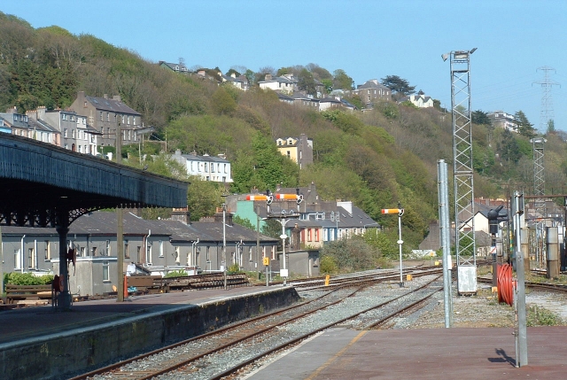 Penitential StationBoulder-burial · 1694 yd
 Radial-stone enclosure in BaurgormRadial-stone enclosure · 1744 yd
 Scart Castle (Site of)Castle, unclassified · 1.1 mi
 Baugorm Castle (Site of)Castle, unclassified · 1.6 mi
 farm housefarm house · 1.7 mi
 Seskin ViewViewpoint · 1.9 mi
 Maggie MurphysRuins · 2.0 mi
 Trawlebane WalkWalking route · 2.1 mi
 Graveyard in TownlotsGraveyard · 2.8 mi
 Mount KidMountain / peak · 2.8 mi
 Francis O'Neill PlaqueMemorial · 2.8 mi
 Tourist OfficeVisitor information · 2.9 mi