What is recorded here
Marked only on the 1923 ed. of the OS 6-inch map, and situated at the crest of the W-facing slope of a NE-SW spur, it is not visible at ground level.
The above description is derived from the published 'Archaeological Inventory of County Waterford' (Dublin: Stationery Office, 1999). In certain instances the entries have been revised and updated in the light of recent research.
Date of upload: 23 December 2008
The monument record does not grant public access. Check the route and ask the landowner before entering private land.
- What survives
- Recorded monument
Places near here
 Man-made underground passage in BallysaggartmoreMan-made underground passage · 414 yd
 Ballysaggartmore Housemausoleum · 982 yd
 Cill Columcille (Site of)Enclosure · 1232 yd
 Ballysaggartmore TowersHeritage attraction · 1.0 mi
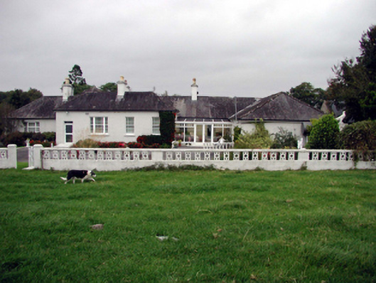 Glenmore Housefarm house · 1.5 mi
 Lismore Castlefarm house · 2.5 mi
 Cottage IslandIslet · 2.6 mi
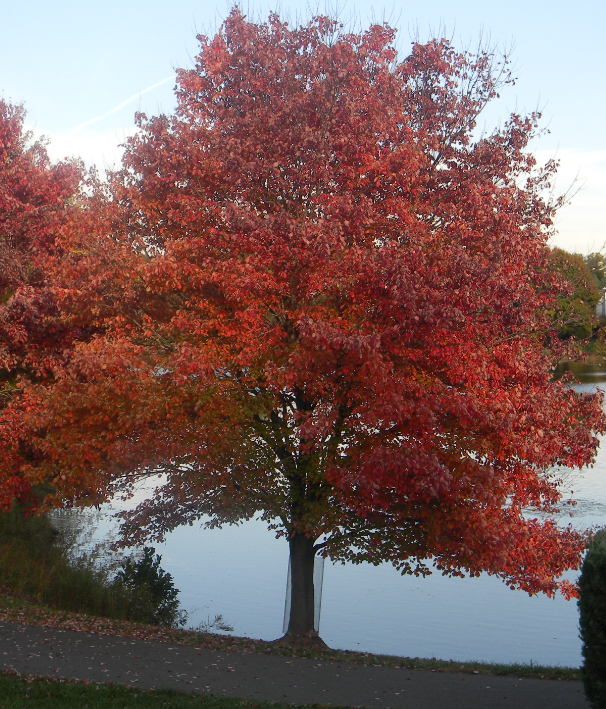 Red MapleRed Maple · 2.6 mi
 European ashEuropean ash · 2.7 mi
 KnockadullaunMountain / peak · 3.1 mi
 Tallow HillMountain / peak · 3.3 mi
 Lisfinny CastleCastle · 3.8 mi