What is recorded here
In pasture with a good view in every direction. Sub-rectangular stone (H 1.82m; 0.74m x 1.24m) narrowing towards top; long axis NNE-SSW. Some packing stones exposed at base.
The above description is derived from the published 'Archaeological Inventory of County Cork. Volume 2: East and South Cork' (Dublin: Stationery Office, 1994). In certain instances the entries have been revised and updated in the light of recent research.
Date of upload/revision: 14 January 2009
A local standing stone or piece of rock art; wider significance not recorded.
The monument record does not grant public access. Check the route and ask the landowner before entering private land.
- What survives
- Recorded monument
Places near here
 Enclosure in Grange (barrymore By.)Enclosure · 1158 yd
 Field system in BallyarraField system · 1349 yd
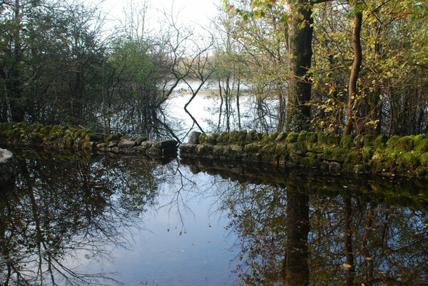 High Park (in Ruins)Country house · 1566 yd
 Castle (in Ruins)Castle, tower house · 1.0 mi
 Castle (Site of)Castle, unclassified · 1.2 mi
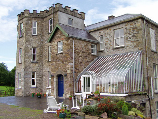 Kilcor Castlecountry house · 1.2 mi
 Coole WellVisitor information · 1.4 mi
 Pope's WellSpring · 2.1 mi
 Strawhall WoodForest · 3.3 mi
 Ballybrack WoodForest · 3.7 mi
 Old Railway ViaductViewpoint · 4.6 mi
 Kent BridgeMemorial · 4.7 mi