What is recorded here
In pasture on N-facing slope. Subrectangular stone aligned ENE-WSW (H 2.2m; 1.45m x 0.35m).
The above description is derived from the published 'Archaeological Inventory of County Cork. Volume 1: West Cork' (Dublin: Stationery Office, 1992). In certain instances the entries have been revised and updated in the light of recent research.
Date of upload/revision: 14 January 2009
Likely dating to the Early Christian or medieval period, the name "Gallán" may refer to a saint or holy well, suggesting a possible religious or pilgrimage site. The alignment and positioning of the stone could reflect ritual or commemorative use, though specific folklore or function remains unrecorded.
The monument record does not grant public access. Check the route and ask the landowner before entering private land.
- What survives
- Recorded monument
Places near here
 Burial ground in ArderrawinnyBurial ground · 283 yd
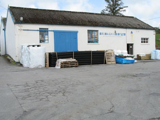 Drinagh Co-operative Ltd.creamery · 849 yd
 IndicatedEnclosure · 1328 yd
 Lowertown Househouse · 1.3 mi
 AltarViewpoint · 1.8 mi
 Castle (in Ruins)Castle, unclassified · 2.0 mi
 Dunmanus Castle (in Ruins)Castle, tower house · 2.3 mi
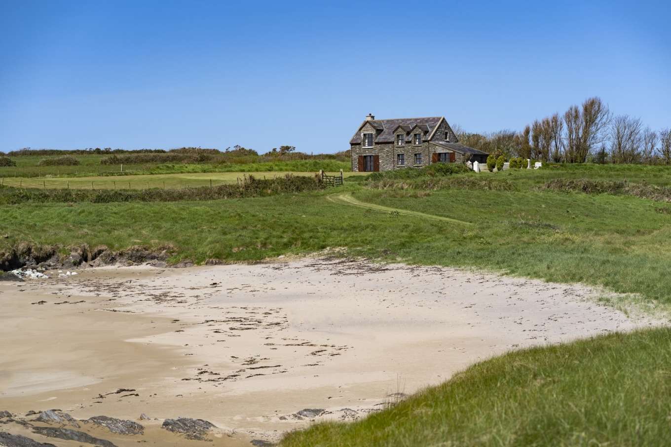 Horse IslandIslet · 2.5 mi
 Dunmanus PointHeadland · 2.6 mi
 Coney IslandIslet · 2.6 mi
 Ballyrisode WoodWood · 2.8 mi
 Sailor's HillViewpoint · 2.9 mi