What is recorded here
In pasture, on crest of low ridge on E side of valley of River Blackwater. Only SW stone of three remains. Aligned ENE-WSW, it is 1.2m L, 0.6m T and 2m H. Ó Drisceoil (1934, 23) records measurements of second stone as 0.8m L, 0.55m T and 1.1m H, and of third stone as 0.9m L, 0.65m T and 1m H. Bowman (1934, 645) recorded 14ft 9in between first and second stones, 5ft 7in between second and third; he was informed locally that the two smaller stones were covered by bog until mid-19th century. According to local information (1984), removed c. 1940; old memory that five stones stood on site. Ring-barrow (11877) c. 30m to SSW. (Ó Nualláin 1988, 231, no. 3)
The above description is derived from the published 'Archaeological Inventory of County Cork. Volume 4: North Cork' (Dublin: Stationery Office, 2000). In certain instances the entries have been revised and updated in the light of recent research.
Date of upload/revision: 14 January 2009
The monument record does not grant public access. Check the route and ask the landowner before entering private land.
- What survives
- Recorded monument
Places near here
 KilnKiln, lime · 589 yd
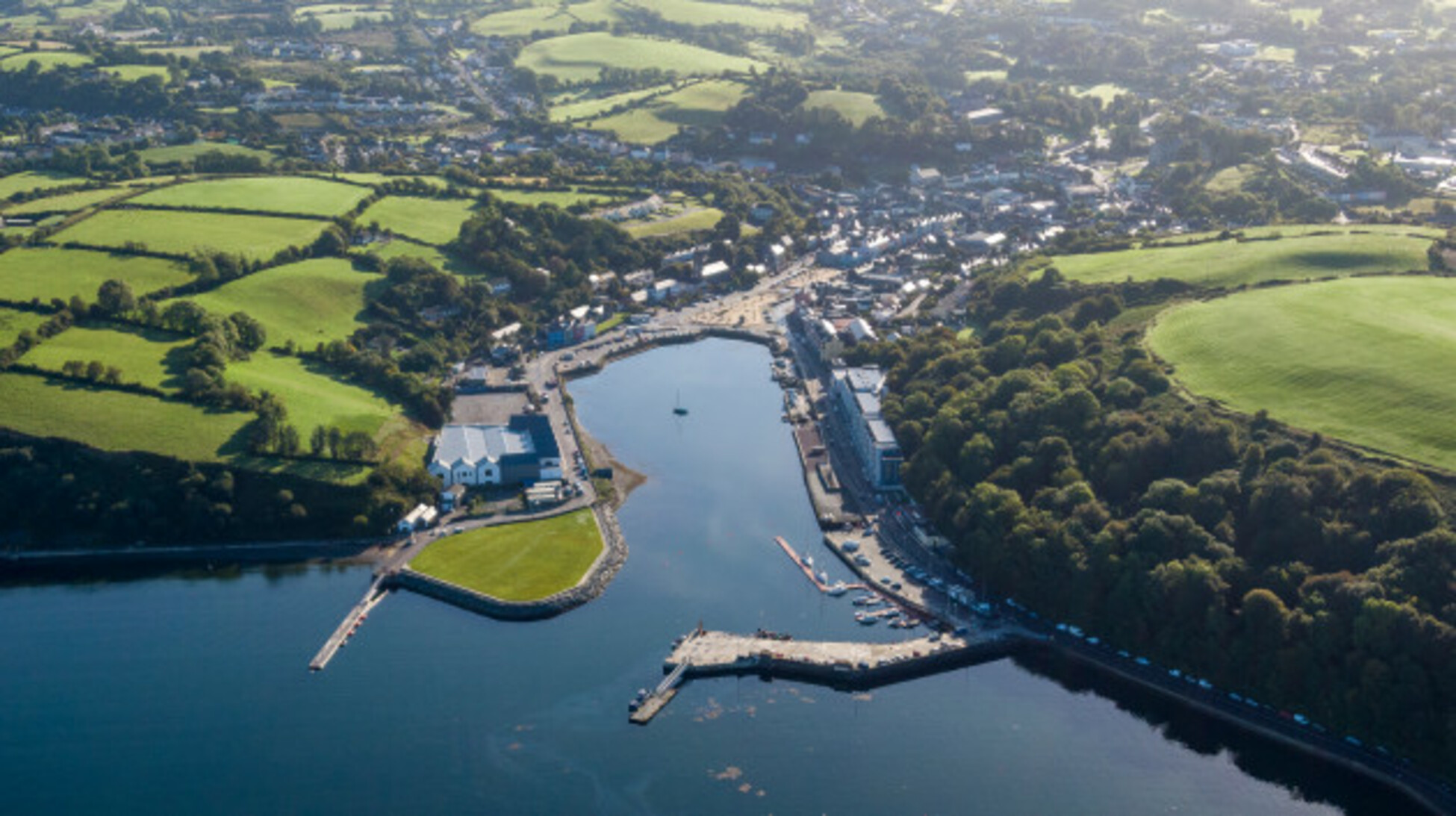 Quarry in Glencollins LowerQuarry · 1647 yd
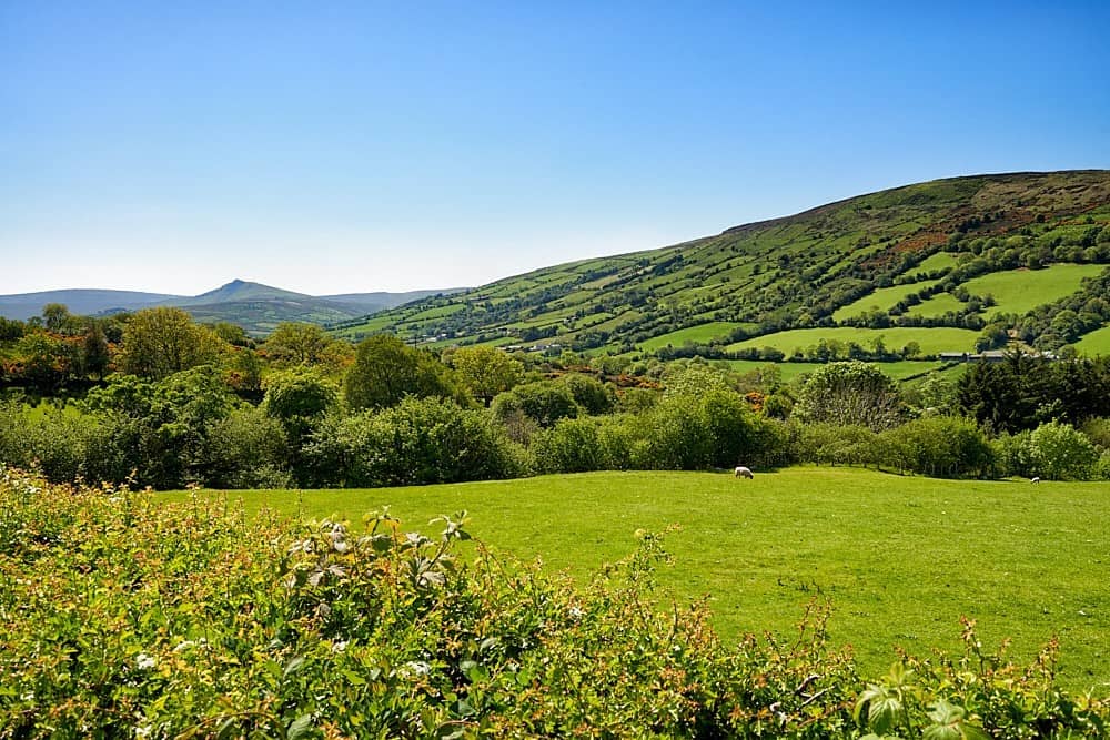 Fulacht fia in Glenreagh (duhallow By.)Fulacht fia · 1.1 mi
 IndicatedEnclosure · 1.2 mi
 Doctor's HillMountain / peak · 3.8 mi
 Barna BogForest · 4.7 mi
 Nohaval WoodWood · 4.8 mi
 TaurMountain / peak · 6.1 mi
 Site of Ardnagragh CastleCastle, unclassified · 7.6 mi
 Ardnacreach CastleCastle · 7.7 mi
 Three CountiesPicnic place · 9.1 mi
 BarraduffMemorial · 9.1 mi